Oplev naturens skønhed i alle dets farver den 20. januar 2025 på Store Karlsminde skrænter ud til Roskilde Fjord – en del af Nationalpark Kongernes Nordsjælland Vest.
Text and photos Erik K Abrahamsen
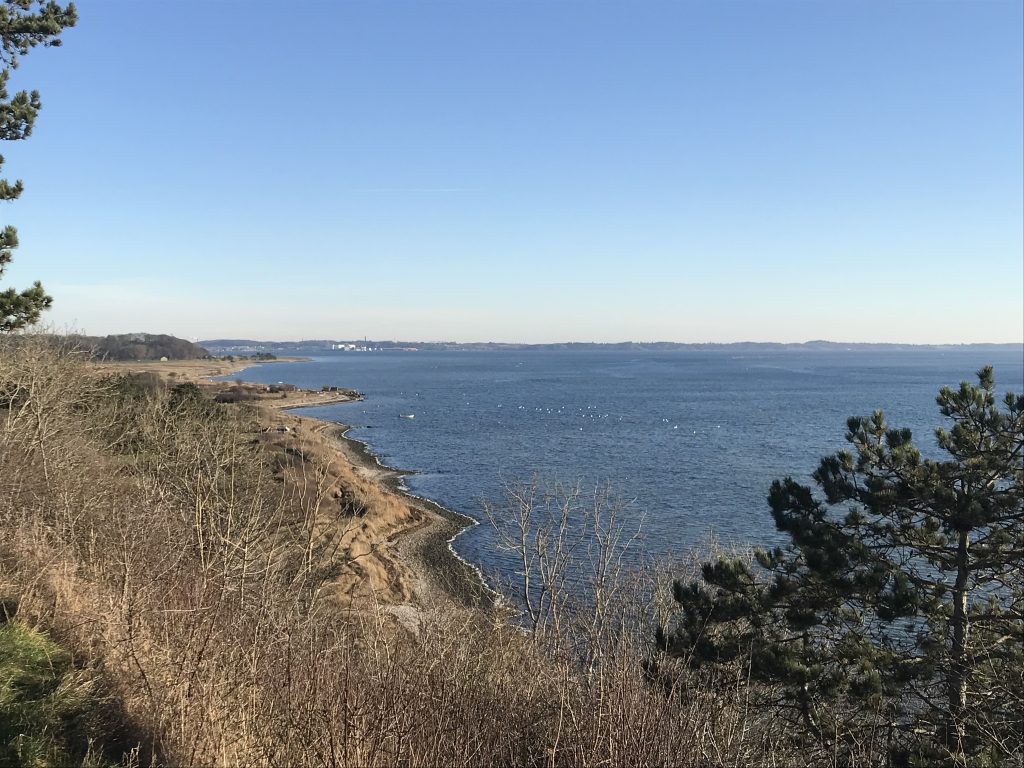
View in direction east from top of 33 m high Store Karlsminde Cliffs to Roskilde Fjord, Ferry Berth Sølager and Frederiksværk farthest away:
Farthest away Frederiksværk – the main city of Halsnæs Commune.
Denmark with 6 mill. inhabitants and 44.000 km2 in size is located at the entrance to The Baltic Sea in North Europe.
Its coastline is nearly 8000 km. in longitude as neighbor to fjords, belts and sea.
At the coastlines to North Sea, Skagerak Sea, Kattegat Sea and Baltic Sea the sea shores are often 50-100 m wide close to 10-20 m high dunes covert with lyme gras and heather with low vegetation of grass, flowers and bushes.
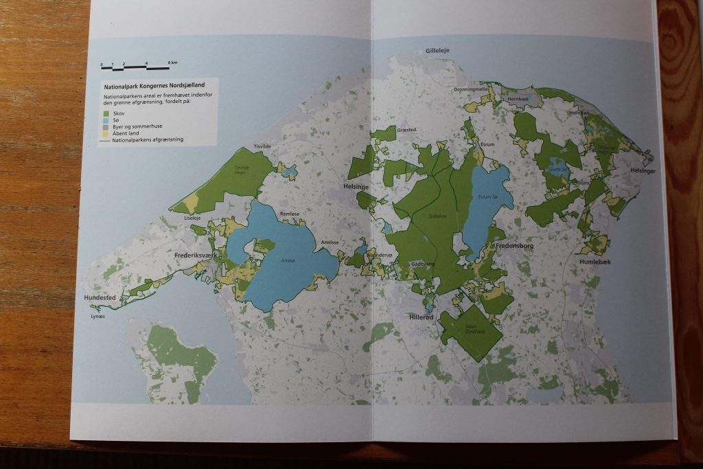
Map of Nationalpark Kings NorthSealand – part West, Middle and East:
Click on photos and use your zoom control and you see them in full screen size.
To protect the nature in Denmark the danish government, regions and communes with close co-operation with landowners and nature protection organisations have since 2008 established 5 National Parks:
Nationalpark Thy, total area 244 km2 and the biggest nationalpark in Denmark. Opened to public 2008 located in Northwest Jutland along the the North Sea Coast.
Nationalpark Vadehavet, total area 1466 km2 incl, 300 km2 land: The danish part of Vadehavet, Fanø-, Mandø- and Rømø islands and Skallingen and Varde Ådal and located in south-vest of Jutland at the North Sea. Opened 2010.
Nationalpark Mols Bjerge, Located in south Djursland Commune. Total area 180 km2, opened 2009 and enlarged 2022 with 775 hektar.
Nationalpark Skjoldungernes Land, total area 170 km2 located in Middle Sealand between Roskilde Fjord in north and Bidstrup Forets in south. Opened 2015.
Nationalpark Kongernes Nordsjælland, total area 26.250 ha (1 hektar= 10.000m2) and the second biggest nationalpark in Denmark and organized as Nationalpark Kings North Sealand East, Middle and West. Opened the 29. May 2018 by Her Majesty Queen Margrethe 2 of Denmark. It is located in North Sealand and stretches from west Isefjord/ Roskilde Fjord and Lynæs to east Øresund Belt and Helsingør and north to Kattegat Sea and south to Gribskov Forest, Esrum Sø and Arresø Lake.
I live in my summerhouse all the year around in Melby, North Sealand close to the western part of Nationalpark Kings North Sealand.
My residence is situated on a peninsula surrounded by Kattegat Sea in north, Isefjord in west, Roskilde Fjord in south and Arresø Lake in west.
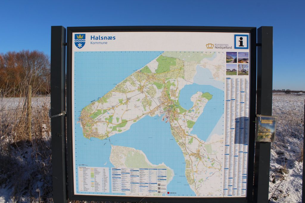
Map of Halsnæs Commune:
Click on photos and use your zoom control and you see them in full screen size.

Monday the 20. January 2025 the wether is cold with minus 1 degree, no wind, sunshine from a blue sky og at 11 am I decided to drive 8 km to experience the beauty of nature in all colors on the 33 m high Store Karlsminde Cliffs at the seashore of Roskilde Fjord in Nationalpark Kings North Sealand West.
Her is my photo story:
I arrive to Roskilde Fjord at Sølager Ferry Berth, which connect Kulhuse Ferry Berth on the other side of Roskilde Fjord – a 10 min. sail:
Sølager Ferry Berth at Roskilde Fjord with Store Karlsminde Cliffs farthest away:
Click on photos and use your zoom control and you see them in full screen size.
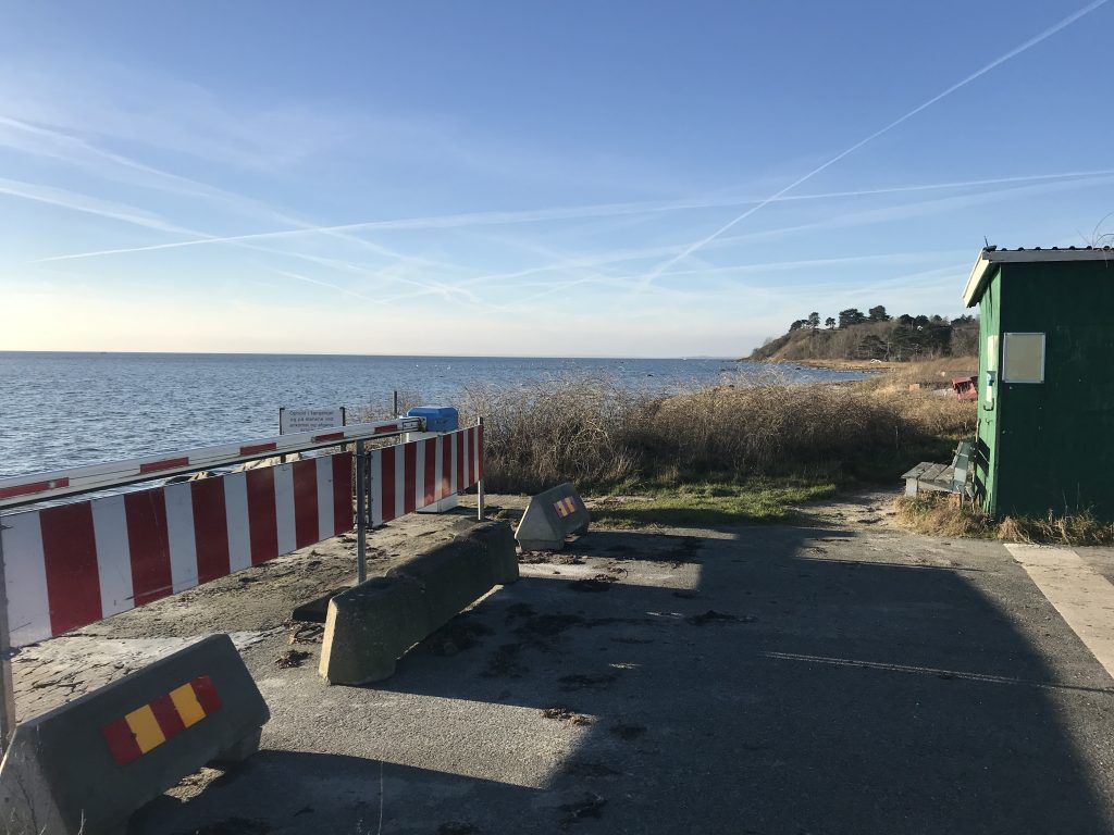
– view in direction east to Frederiksværk:
Click on photos and use your zoom control and you see them in full screen size.
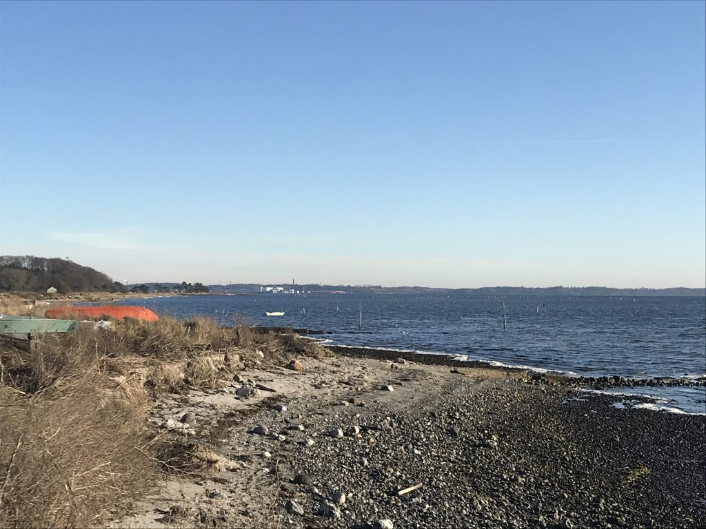
Plate with map of Roskilde Fjord Animal Protection Area:
Click on photos and use your zoom control and you see them in full screen size.
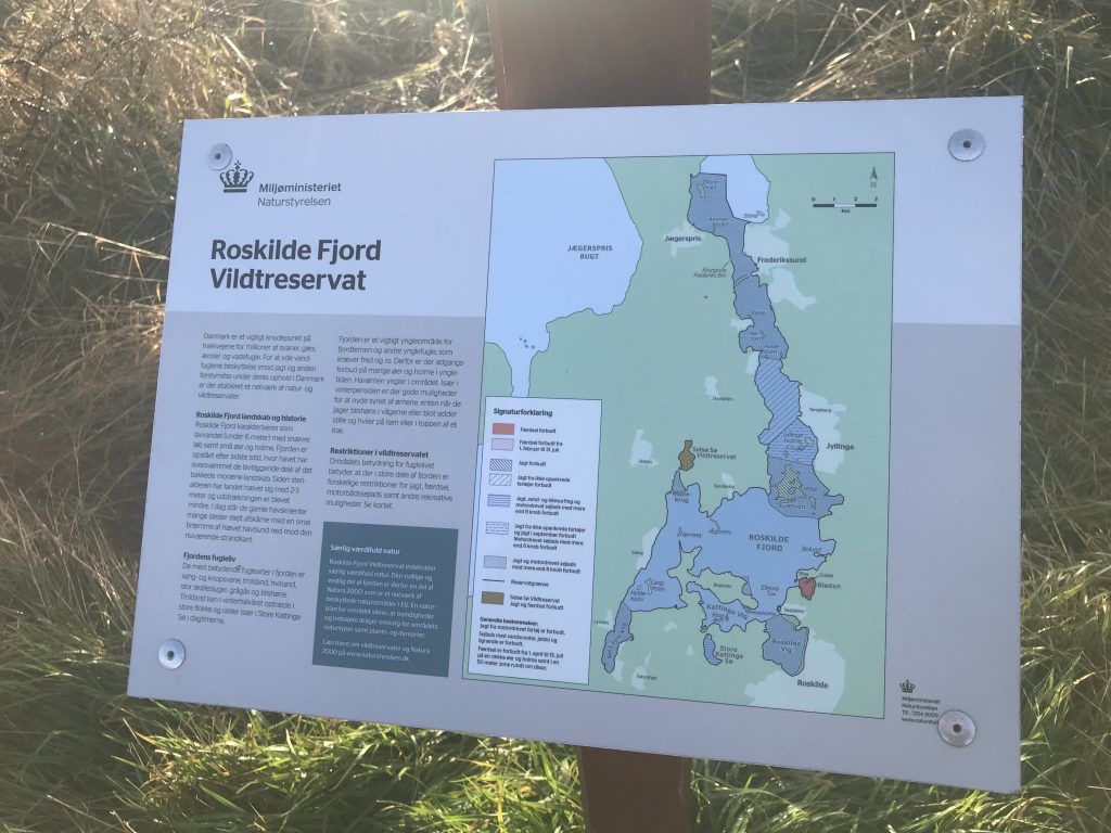
Sølager Ferry Berth at Roskilde Fjord with Store Karlsminde Cliffs farthest away:
Click on photos and use your zoom control and you see them in full screen size.
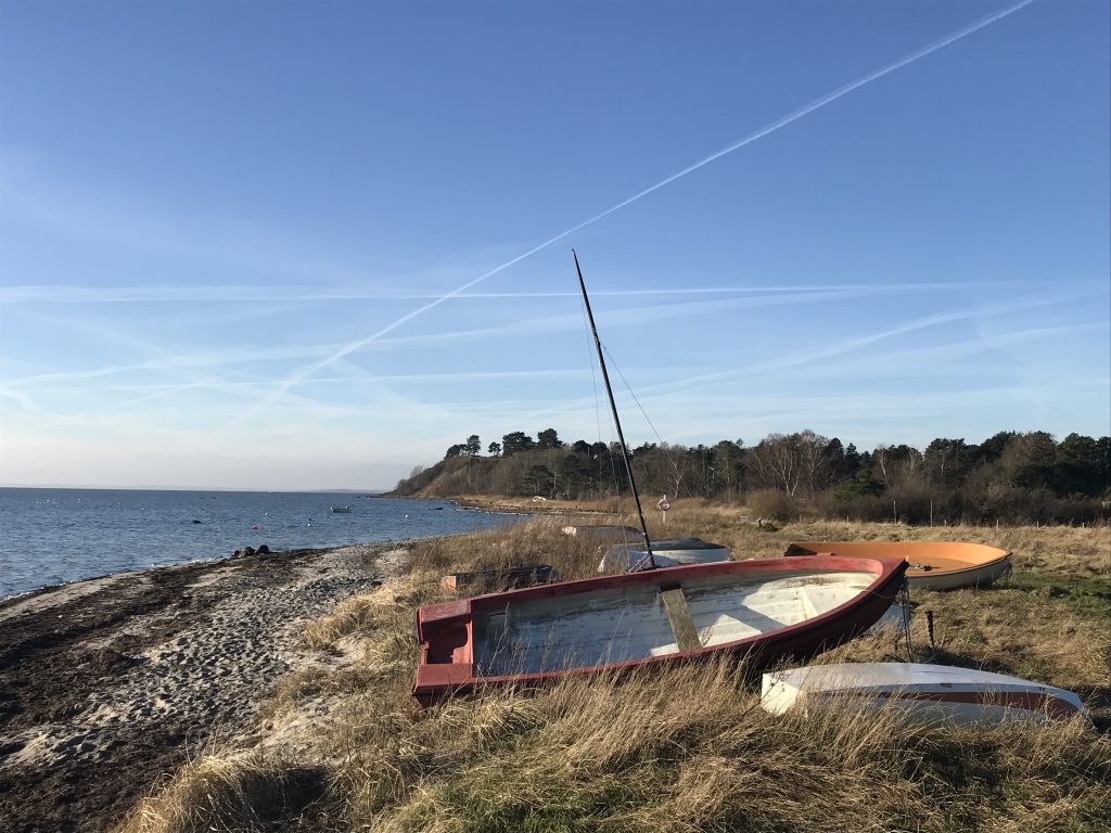
Sølager Ferry Berth at Roskilde Fjord with Store Karlsminde Cliffs farthest away:
Click on photos and use your zoom control and you see them in full screen size.
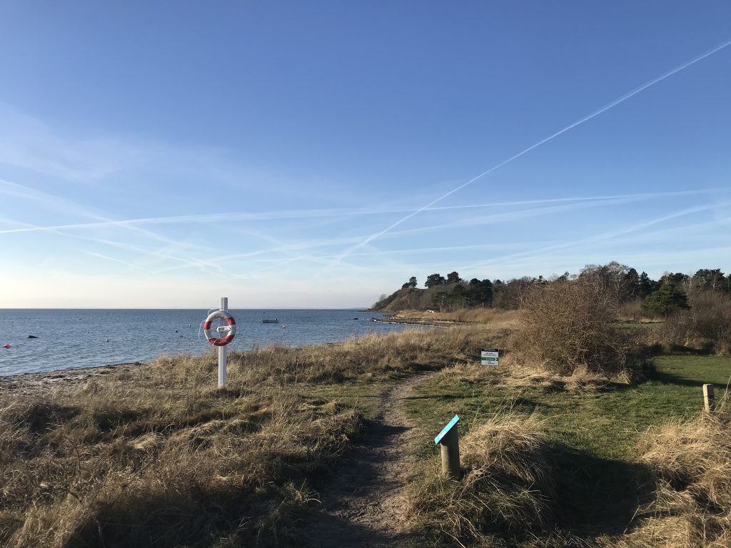
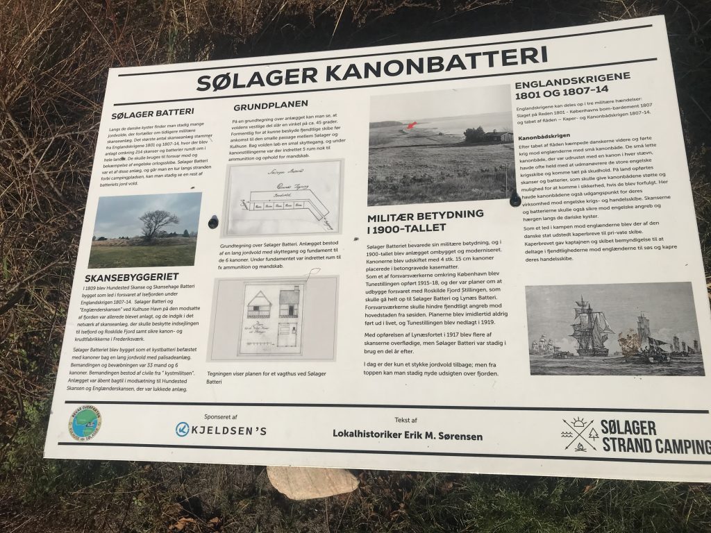
Sølager at Roskilde Fjord – view to artilleri battery rampart for protection of enemy battle ships not to enter into to Roskilde Fjord – from war 1807-11 between Denmark and England:
In front color Map of Halsnæs Peninsula in last Ice Age period around 10.000 b. Chr. when Halsnæs was an island. When the ice cap melted the underlying landscape was liftet up and the island Halsnæs became a peninsula connected by land to the rest of North Sealand.
Click on photos and use your zoom control and you see them in full screen size.
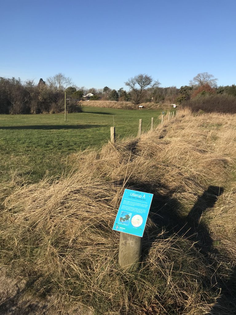
Plate Ullerup Å and map of Halsnæs Peninsula in last Ice Age period around 10.000 b. Chr., when Halsnæs was an island.
Click on photos and use your zoom control and you see them in full screen size.
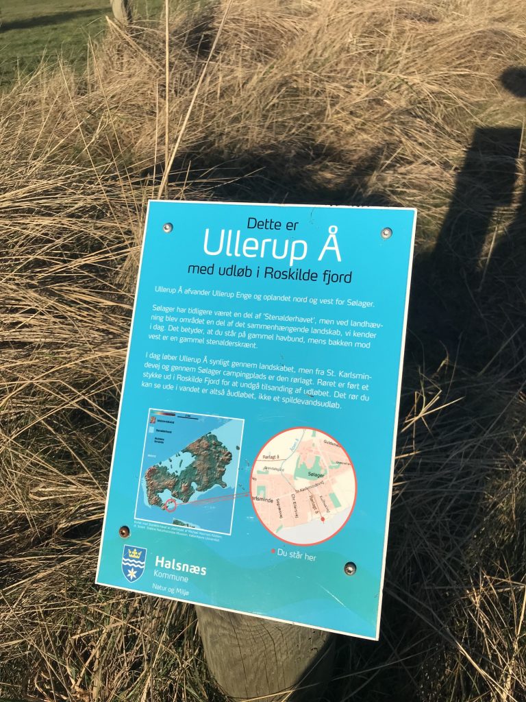
Sølager at Roskilde Fjord – view to artilleri battery rampart for protection of enemy battle ships not to enter to Roskilde Fjord – from war 1807-11 between Denmark and England:
Click on photos and use your zoom control and you see them in full screen size.
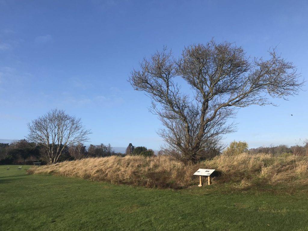
Plate: Sølager artilleri battery rampart:
Click on photos and use your zoom control and you see them in full screen size.
Sølager Ferry Berth at Roskilde Fjord with Store Karlsminde Cliffs farthest away:
Click on photos and use your zoom control and you see them in full screen size.
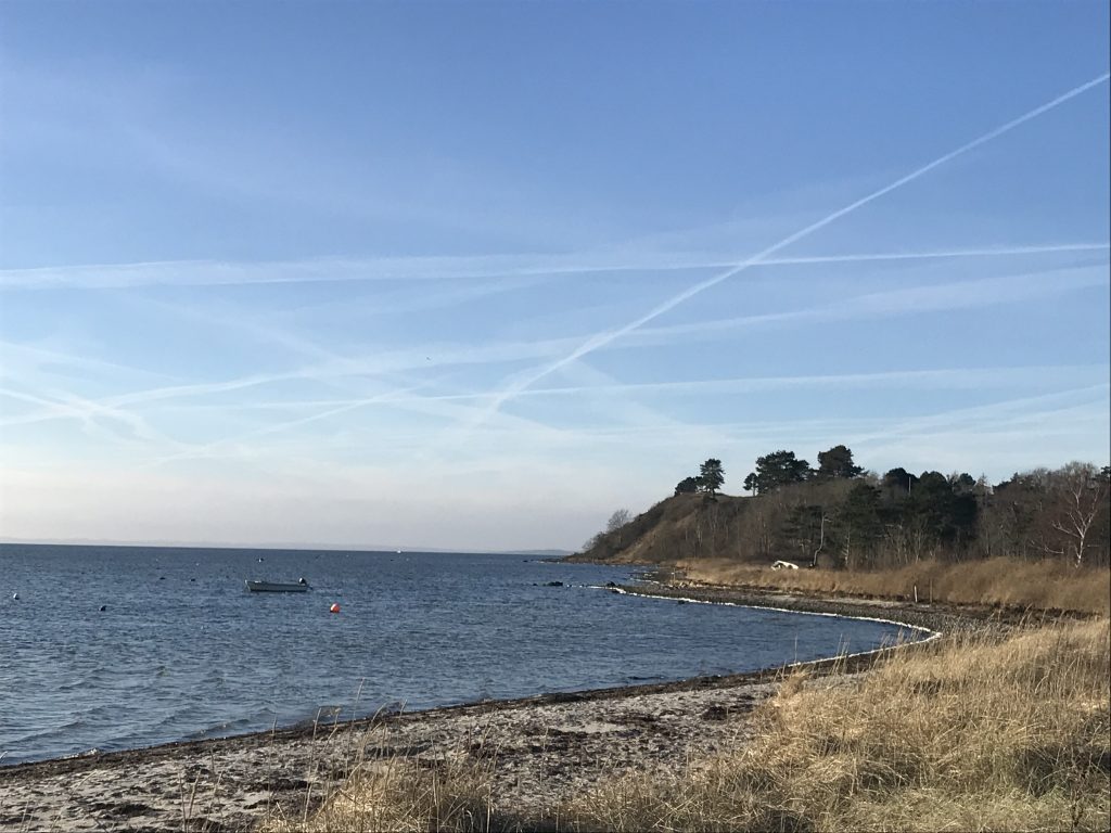
View from beginning of Store Karlsminde Cliffs in direction east to Sølager Ferry Berth at left and to Roskilde Fjord:
At right on photo Ferry Berth Kulhuse opposite Sølager Ferry Berth.
Click on photos and use your zoom control and you see them in full screen size.
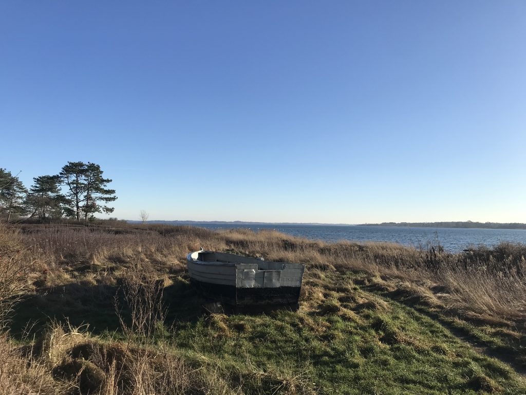
View from top of 33 m high Store Karlsminde Cliffs in direction east to Sølager Ferry Perth and Frederiksværk farthest away:
A path for walking stretching all along the 500 m long top of Store Karlsminde Cliffs 1-4 m from the edges of the cliffs.
Click on photos and use your zoom control and you see them in full screen size.
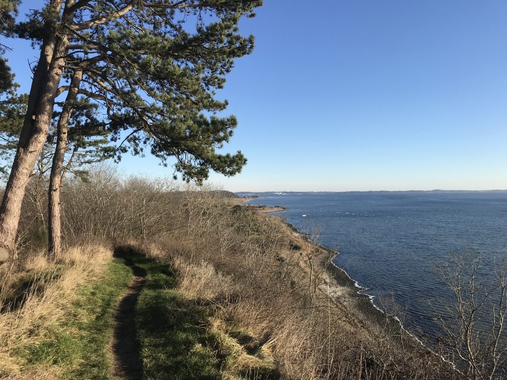
View from top of 33m high Store Karlsminde Cliffs in direction west to walk path and Roskilde Fjord:
Click on photos and use your zoom control and you see them in full screen size.
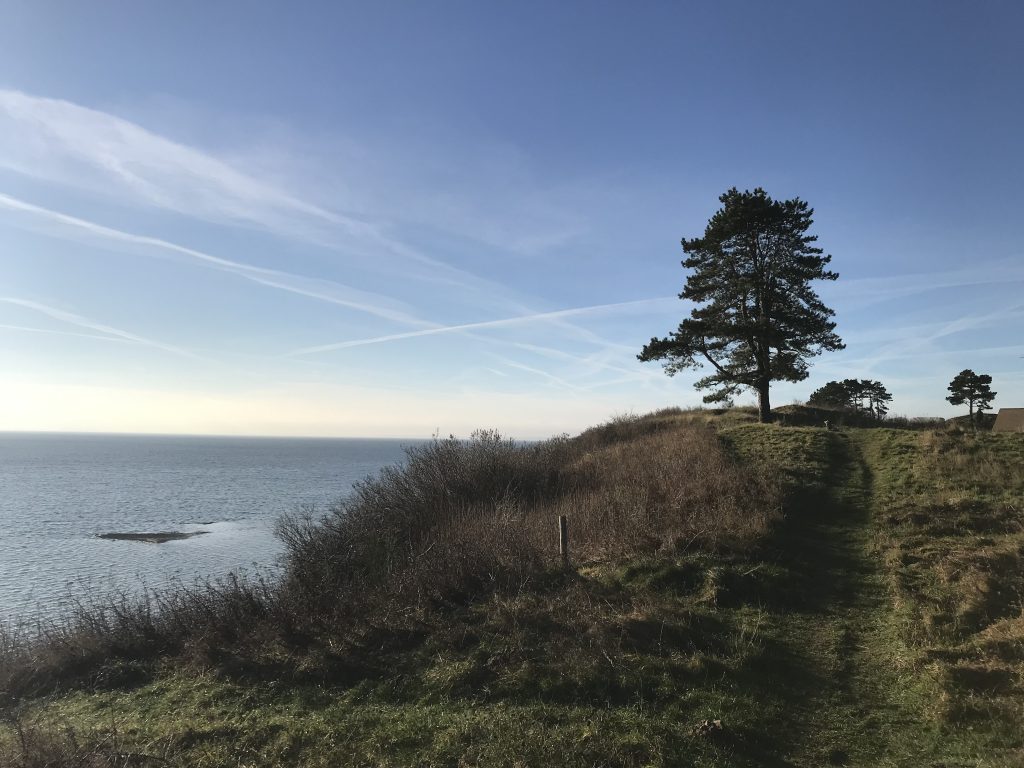
View from top of 33 m high Store Karlsminde Cliffs in direction east to Sølager Ferry Perth and Frederiksværk farthest away:
A path for walking stretching all along the 500 m long top of Store Karlsminde Cliffs 1-4 m from the edge of the cliffs.
Click on photos and use your zoom control and you see them in full screen size.
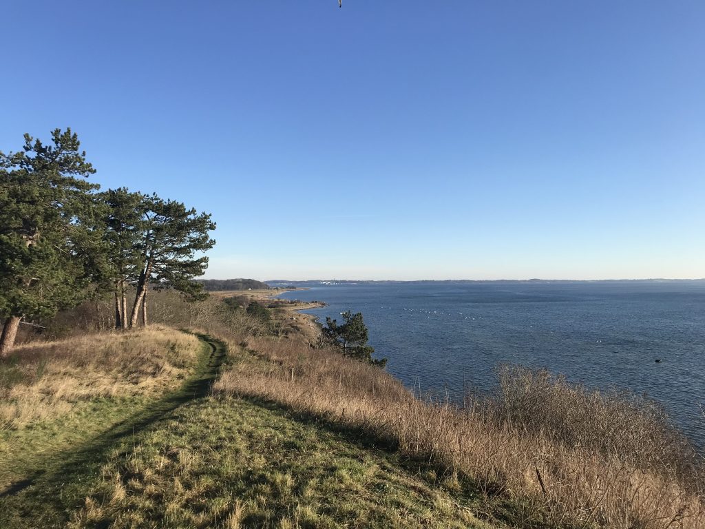
Map of Halsnæs Peninsula and Commune with Kattegat Sea north, Isefjord at west, Roskilde Fjord south and Arresø Lake east::
Click on photos and use your zoom control and you see them in full screen size.
View from top of 33 m high. Store Karlsminde Cliffs in direction east to Sølager Ferry Perth and Frederiksværk farthest away:
At right on photo Kulhuse Ferry Perth.
Click on photos and use your zoom control and you see them in full screen size.
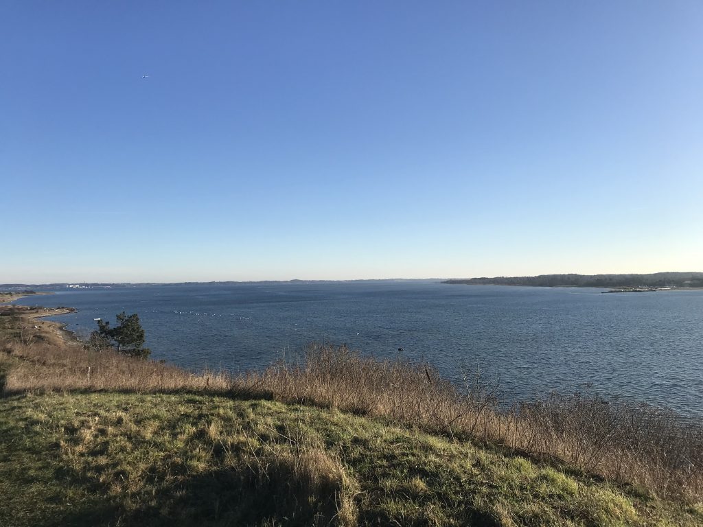
View from top of 33 m high Store Karlsminde Cliffs in direction east to Sølager Ferry Perth and Frederiksværk farthest away:
Click on photos and use your zoom control and you see them in full screen size.
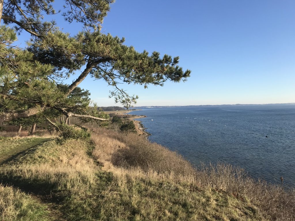
View from top of 33 m high Store Karlsminde Cliffs in direction east to Sølager Ferry Perth and Frederiksværk farthest away:
Click on photos and use your zoom control and you see them in full screen size.
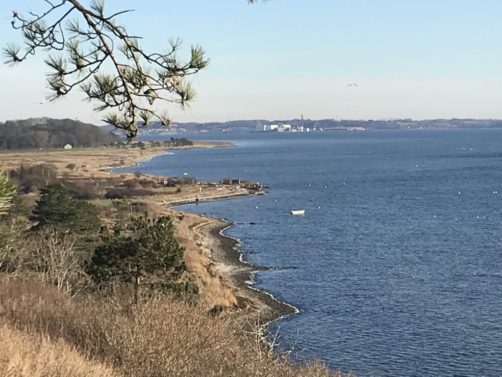
View from top of 33 m high Store Karlsminde Cliffs in direction west to Roskilde Fjord:
Click on photos and use your zoom control and you see them in full screen size.
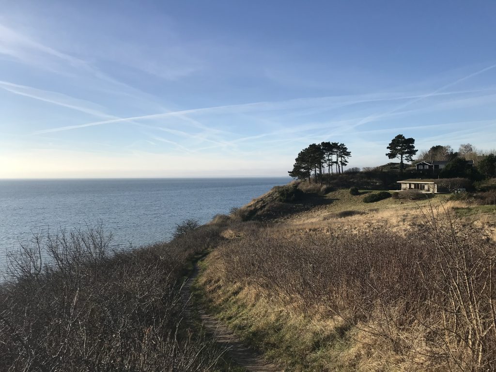
View from top of 33 m high Store Karlsminde Cliffs in direction east to Roskilde Fjord and Kulhuse Ferry Perth:
Click on photos and use your zoom control and you see them in full screen size.
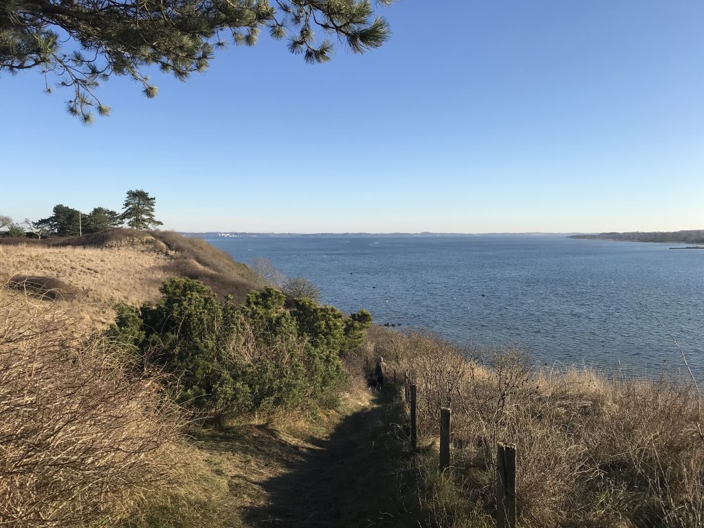
View from top of 33 m. high Store Karlsminde Cliffs in direction west to Roskilde Fjord and Lynæs farthest away:
A path for walking stretching all along the 500 m long top of Store Karlsminde Cliffs 1-4 m from the edge af the cliffs.
Click on photos and use your zoom control and you see them in full screen size.
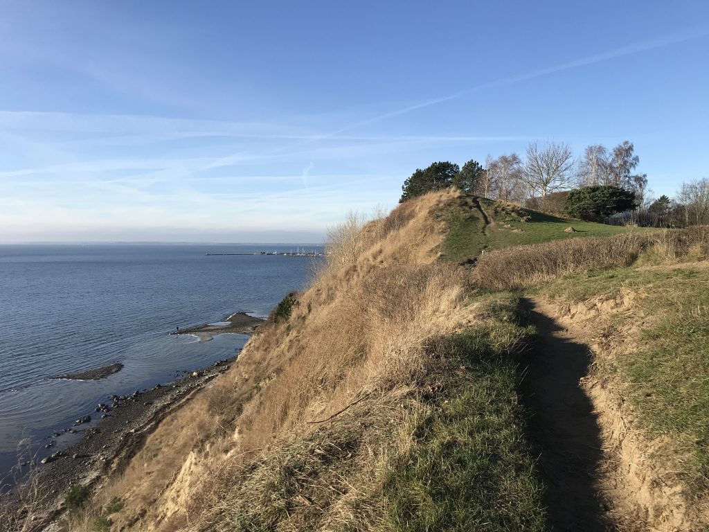
View from top of 33 m high Store Karlsminde Cliffs in direction west to Roskilde Fjord and Lynæs farthest away:
Click on photos and use your zoom control and you see them in full screen size.
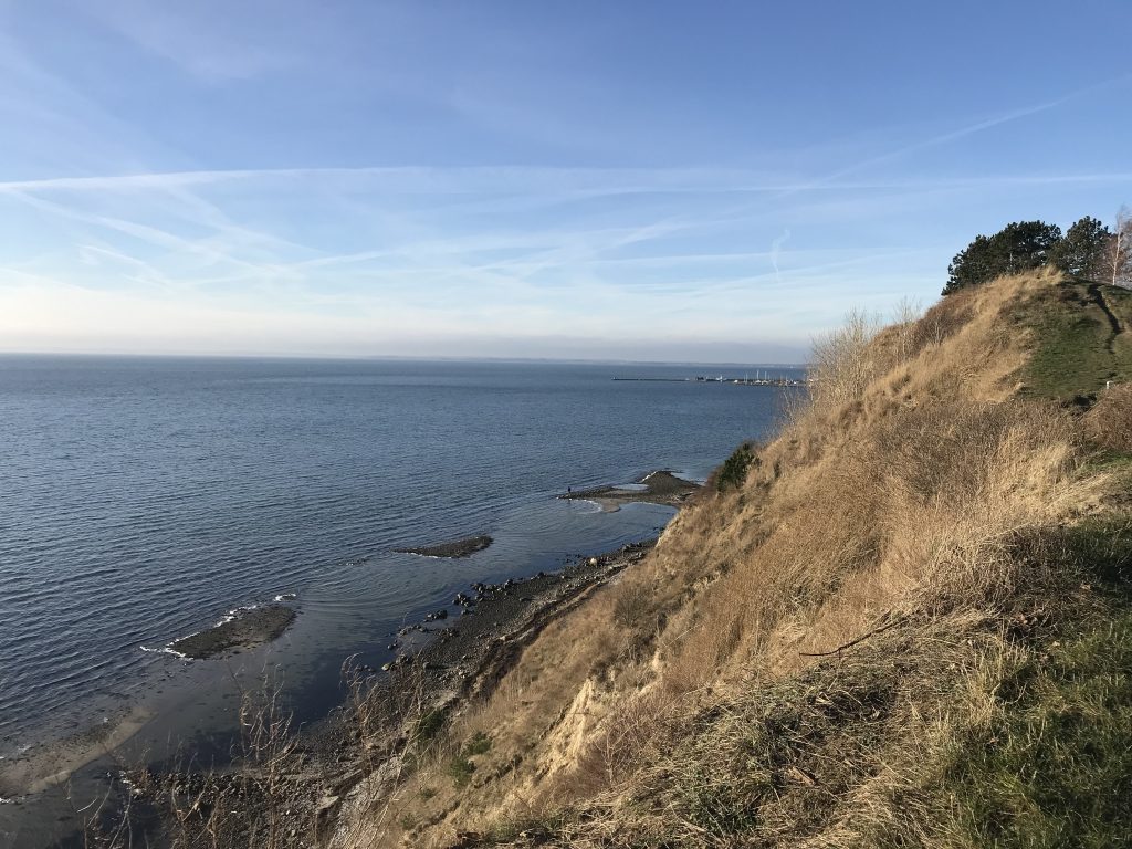
View from top of 33 m high Store Karlsminde Cliffs in direction east to Roskilde Fjord and Kulhuse Ferry Perth:
Click on photos and use your zoom control and you see them in full screen size.
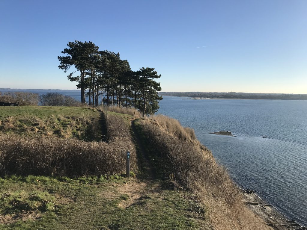
View from top of 3h m high Store Karlsminde Cliffs in direction east to Roskilde Fjord and Kulhuse Ferry Perth:
Click on photos and use your zoom control and you see them in full screen size.
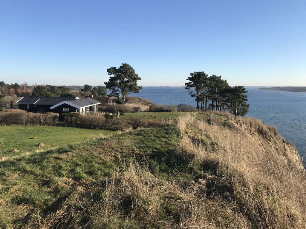
View from top of 33 m high Store Karlsminde Cliffs in direction east to Roskilde Fjord and Kulhuse Ferry Perth:
Click on photos and use your zoom control and you see them in full screen size.
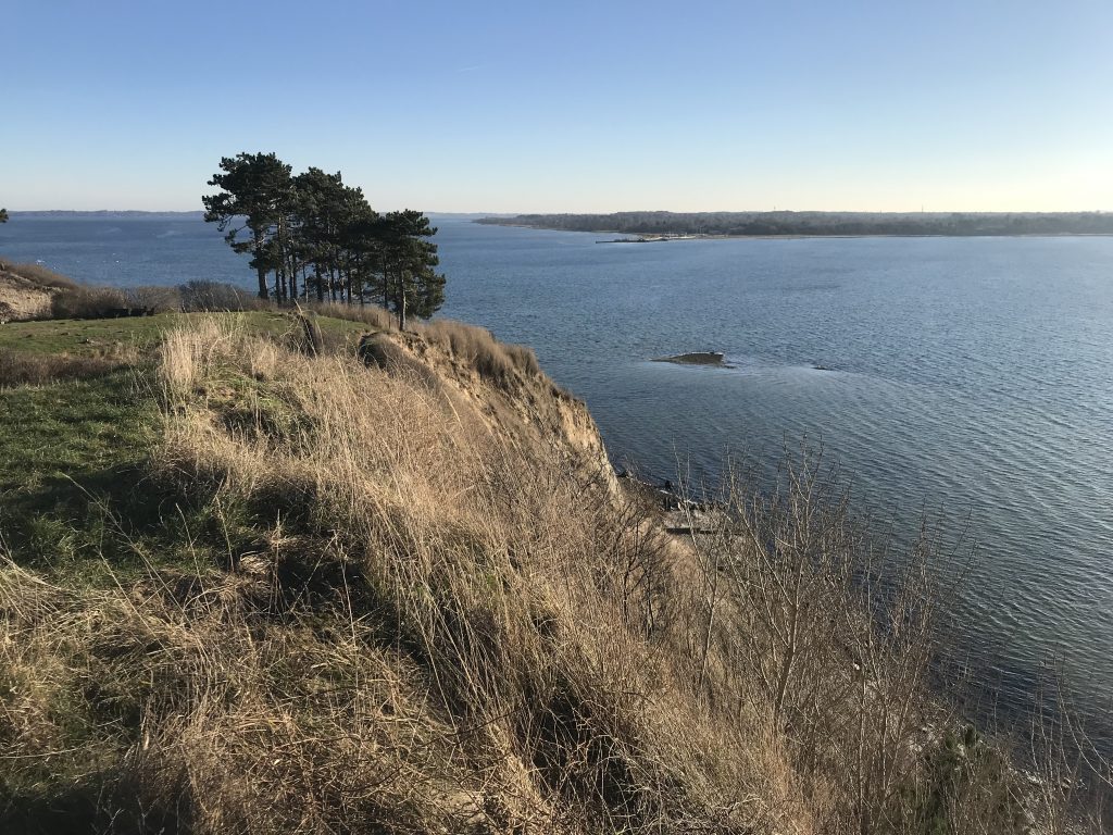
View from top of 33 m high Store Karlsminde Cliffs in direction east to Roskilde Fjord and Kulhuse Ferry Perth:
Click on photos and use your zoom control and you see them in full screen size.
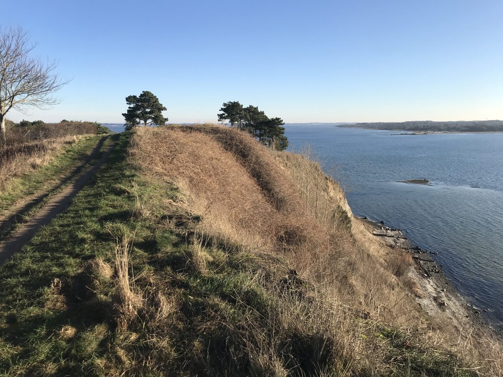
View from top of 33 m Store Karlsminde Cliffs in direction west to Roskilde Fjord and Lynæs farthest away:
Click on photos and use your zoom control and you see them in full screen size.
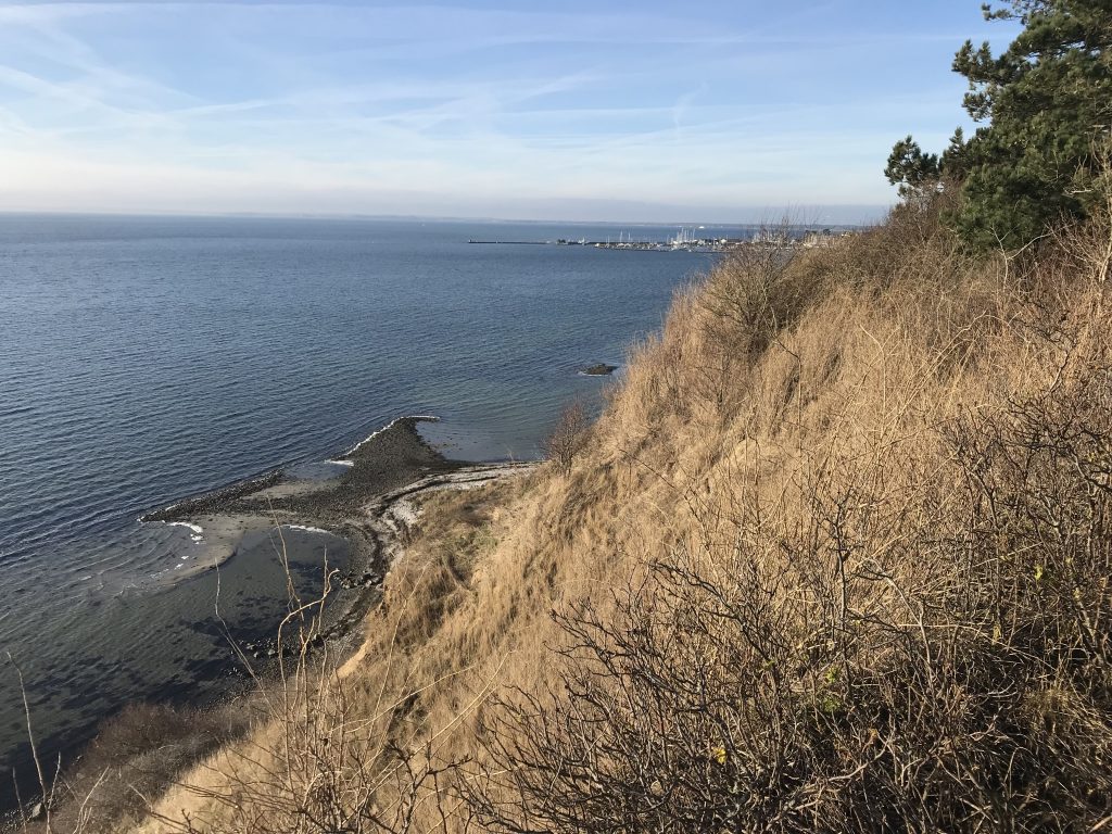
View from top of 33 m high Store Karlsminde Cliffs in direction west to Roskilde Fjord, Lynæs and Isefjord farthest away with ferry boat between Hundested and Rørvig:
A path for walking stretching all along the 500 m long top of Store Karlsminde Cliffs 1-4 m from the edge of the cliffs.
Click on photos and use your zoom control and you see them in full screen size.
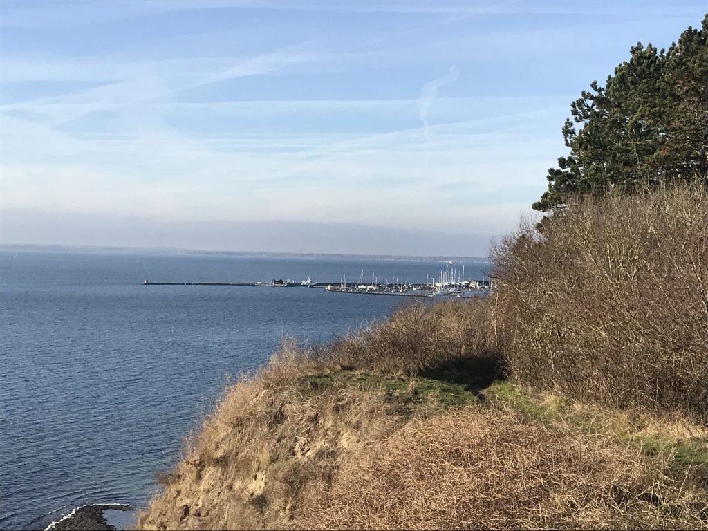
View from top of 33 m high Store Karlsminde Cliffs in direction west to Roskilde Fjord and Lynæs:
Click on photos and use your zoom control and you see them in full screen size.
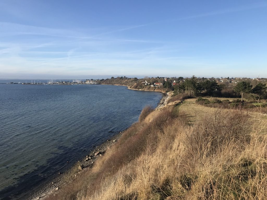
View from top of 33 m high Store Karlsminde Cliffs in direction west to Roskilde Fjord and Lynæs:
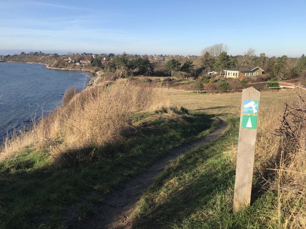
The path on top of Store Karlsminde Cliff is part of the 58 km long walking path HALSNINOEN, which stretch from south of Halsnæs Commune to Lynæs Harbour and Isefjord in north-west.
From top of 33 m high Store Karlsminde Cliffs their is stairs to the coast of Roskilde Fjord:
View in direction west to Lynæs Harbour.
Click on photos and use your zoom control and you see them in full screen size.
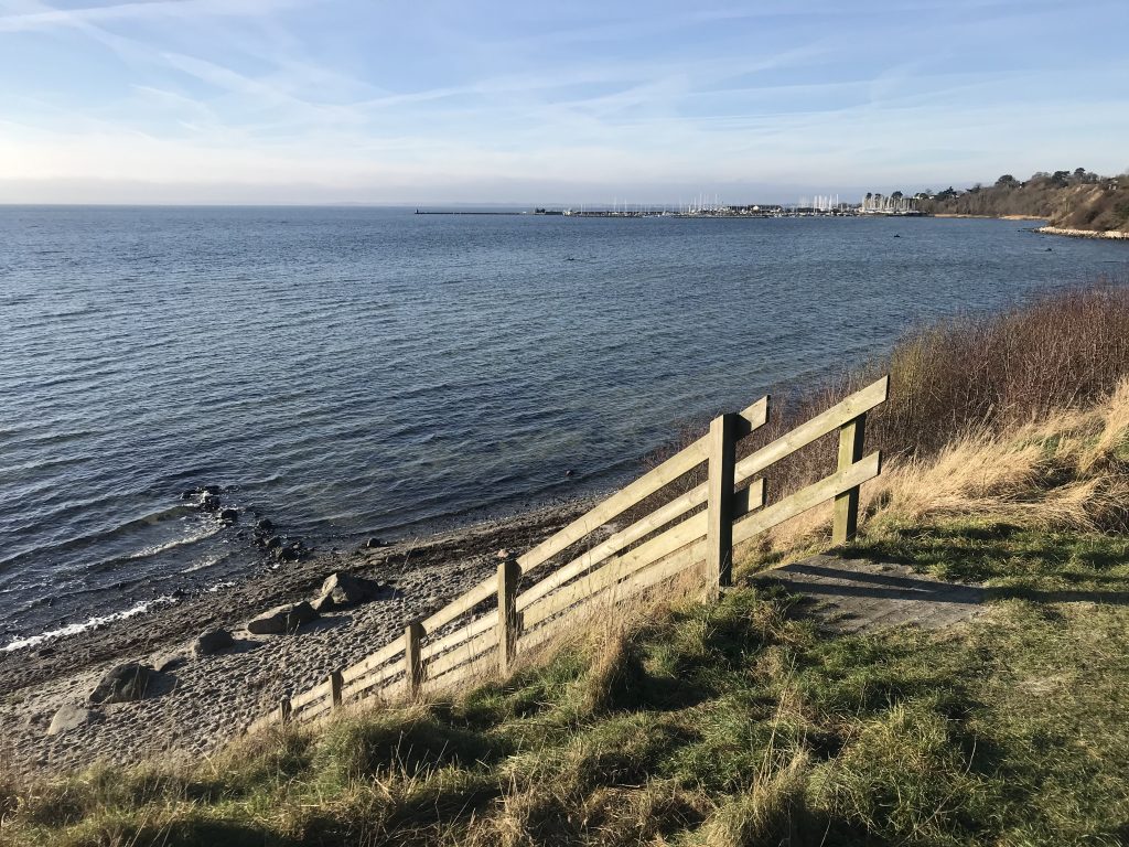
View in direction west from coast of Roskilde Fjord to Lynæs Harbour:
Click on photos and use your zoom control and you see them in full screen size.
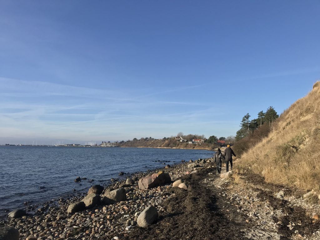
View in direction east of coast of Roskilde Fjord at Store Karlsminde Cliffs:
Click on photos and use your zoom control and you see them in full screen size.
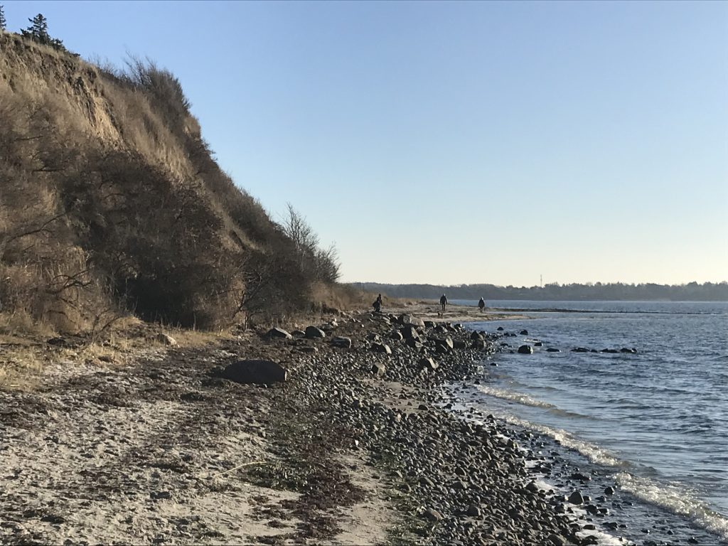
View in direction east of coast of Roskilde Fjord at Store Karlsminde Cliffs:
Click on photos and use your zoom control and you see them in full screen size.
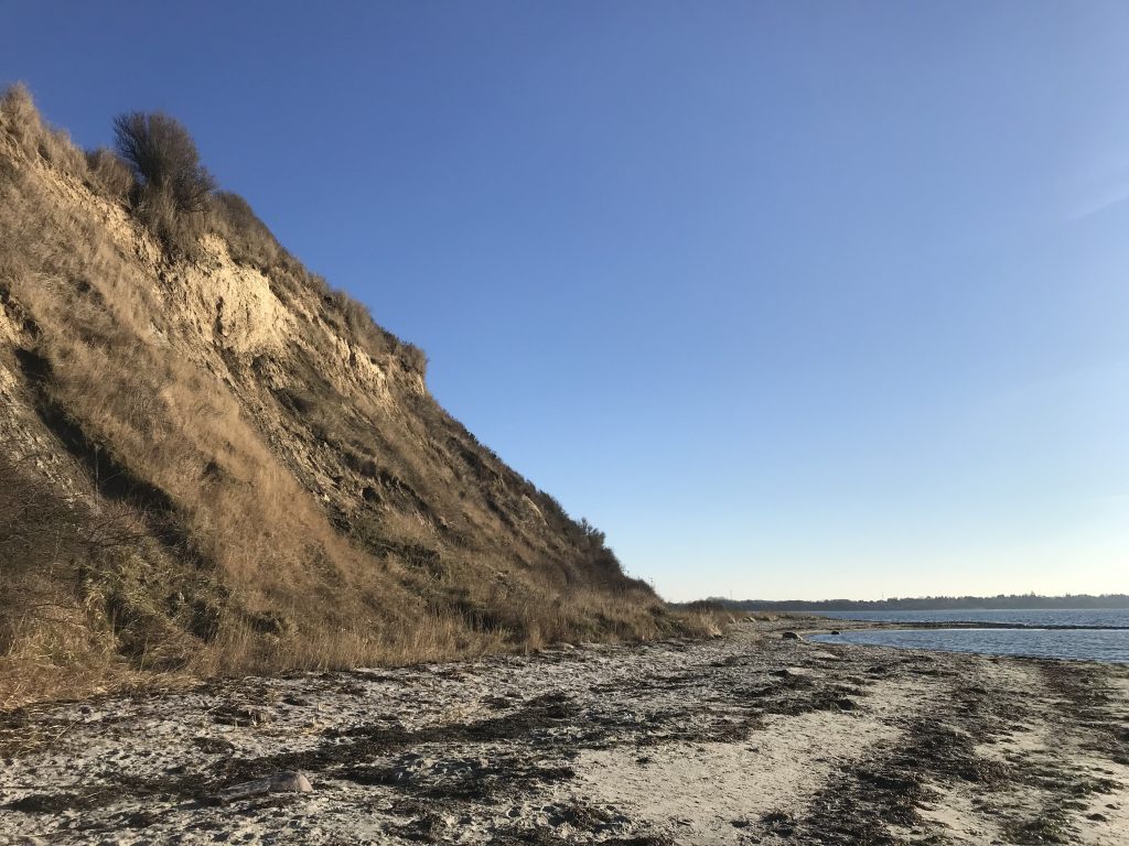
View in direction north of coast of Roskilde Fjord at Store Karlsminde Cliffs:
Click on photos and use your zoom control and you see them in full screen size.
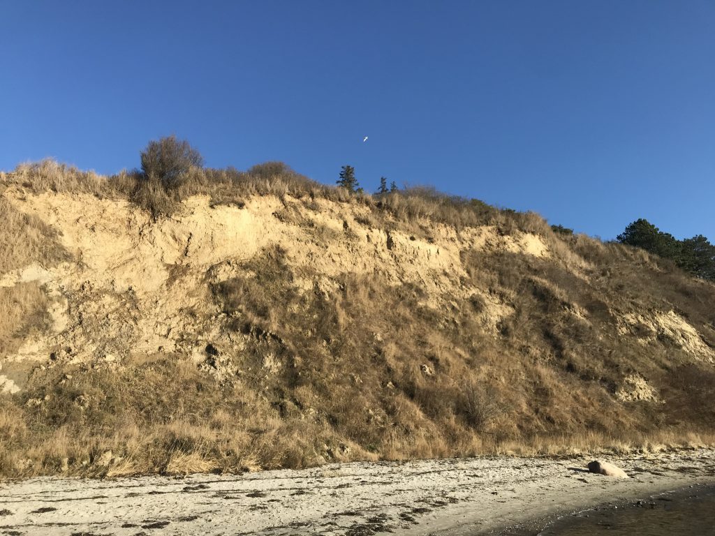
View in direction west from coast of Roskilde Fjord to Lynæs Harbour:
Click on photos and use your zoom control and you see them in full screen size.
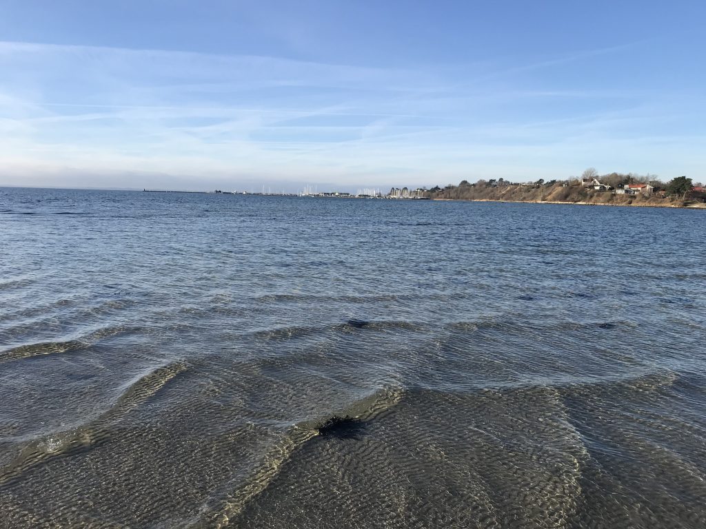
View in direction east of coast of Roskilde Fjord at Store Karlsminde Cliffs:
Click on photos and use your zoom control and you see them in full screen size.
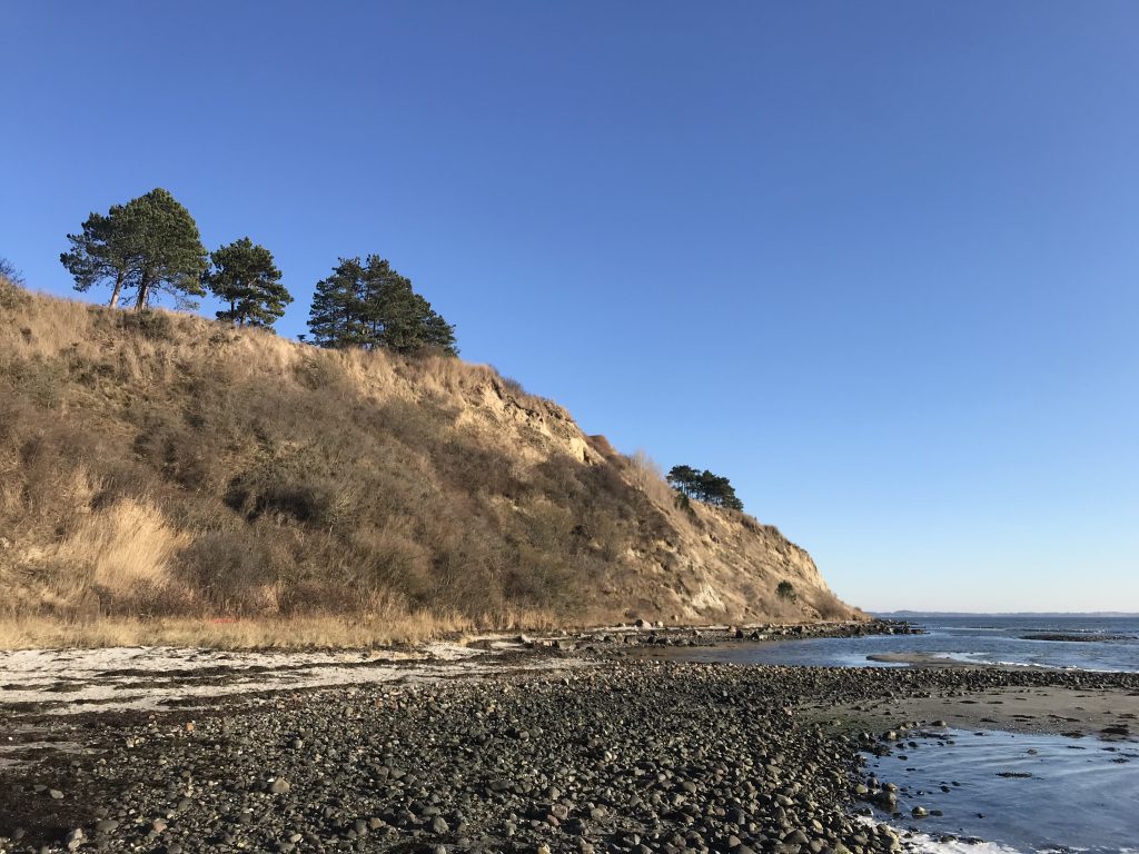
View in direction west from coast of Roskilde Fjord to Lynæs Harbour:
Click on photos and use your zoom control and you see them in full screen size.
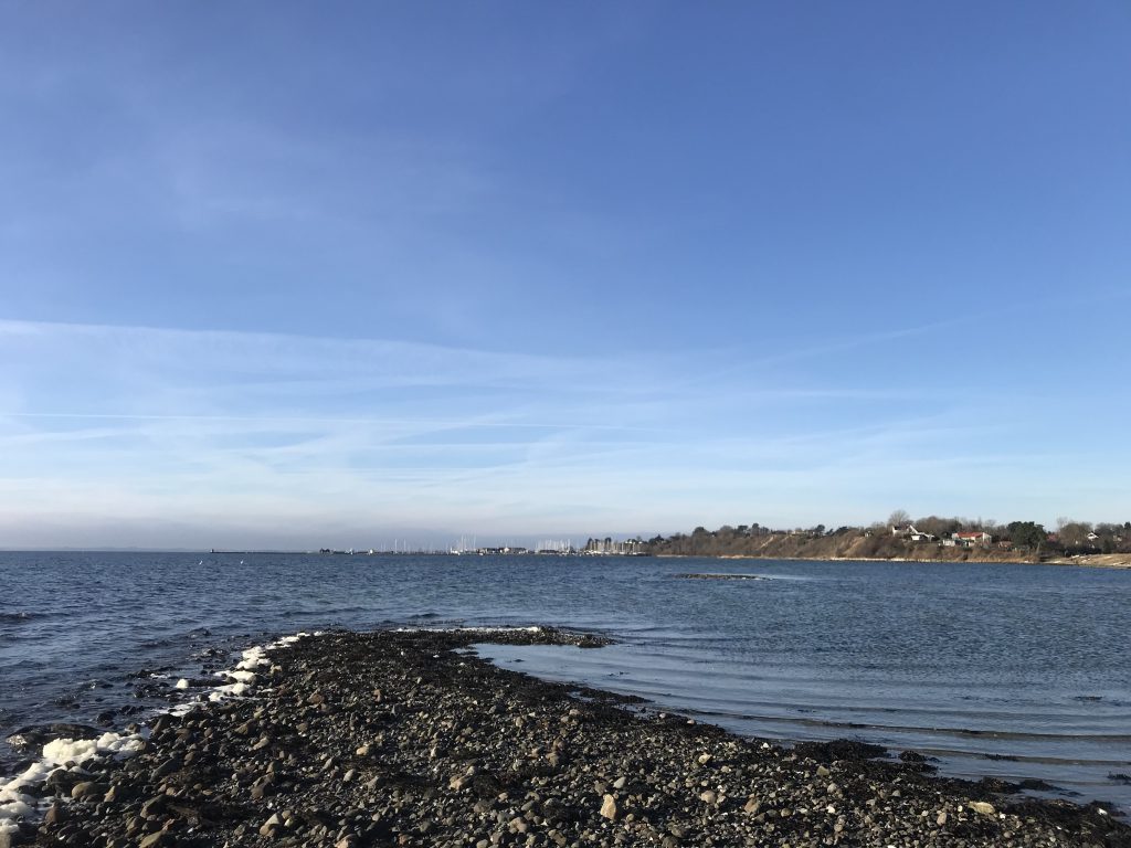
View in direction north of coast of Roskilde Fjord at Store Karlsminde Cliffs:
Click on photos and use your zoom control and you see them in full screen size.
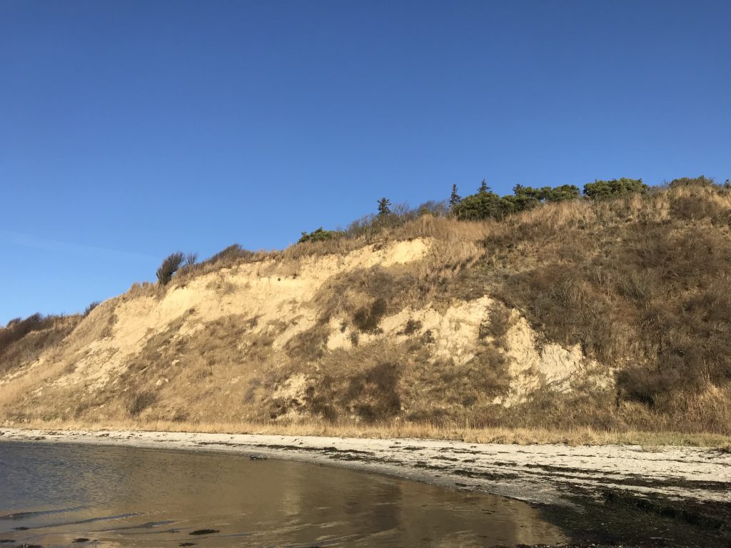
View in direction east of coast of Roskilde Fjord at Store Karlsminde Cliffs:
Click on photos and use your zoom control and you see them in full screen size.
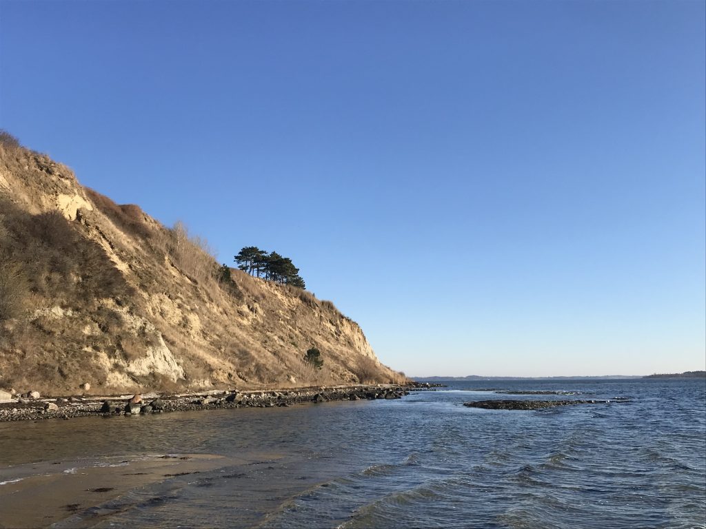
View in direction east of coast of Roskilde Fjord at Store Karlsminde Cliffs:
Click on photos and use your zoom control and you see them in full screen size.
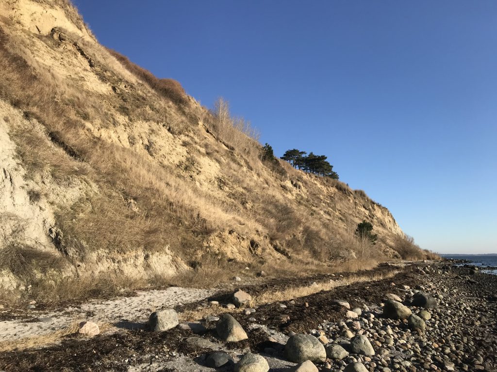
View in direction east of coast of Roskilde Fjord at Store Karlsminde Cliffs:
Click on photos and use your zoom control and you see them in full screen size.
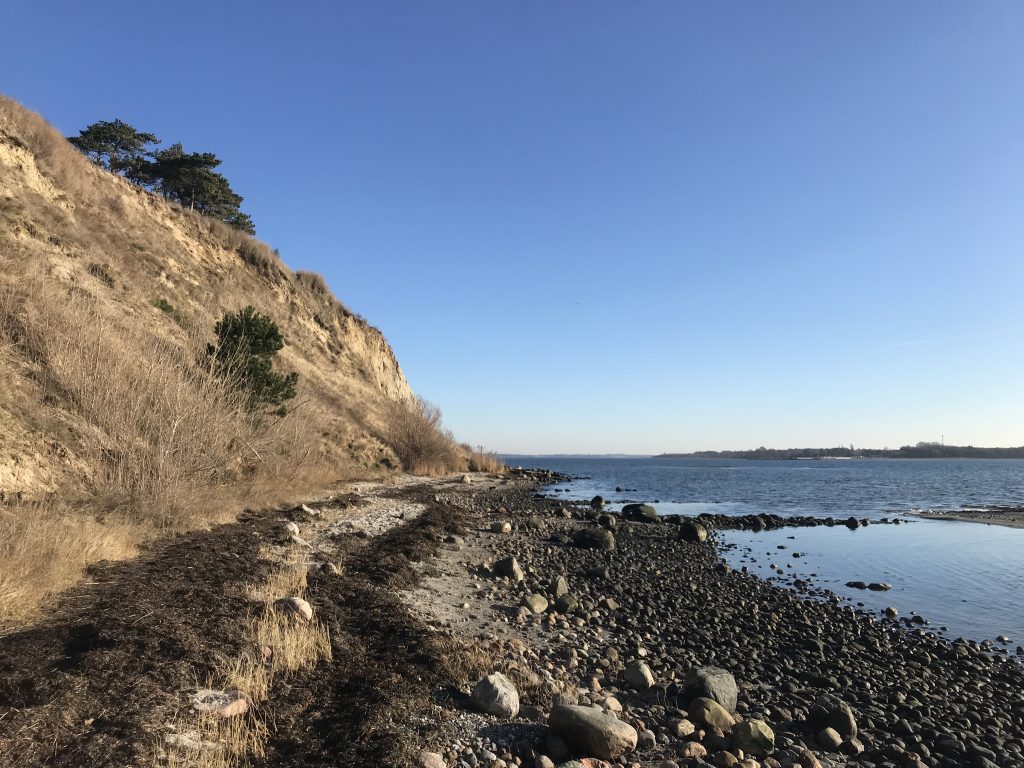
After a one hour walk I am back to Sølager Ferry Perth.
View from Sølager Ferry Perth in direction west of coast of Roskilde Fjord at Store Karlsminde Cliffs farthest away:
Click on photos and use your zoom control and you see them in full screen size.
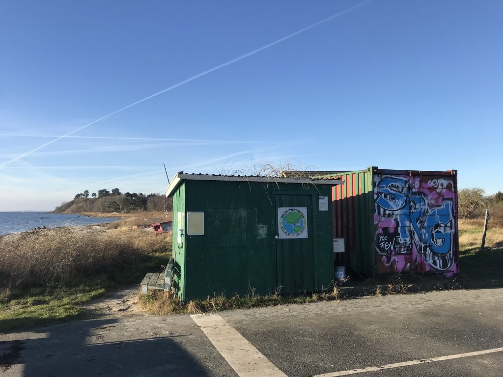
View in direction west of coast of Roskilde Fjord at 33 m high Store Karlsminde Cliffs farthest away:
Click on photos and use your zoom control and you see them in full screen size.
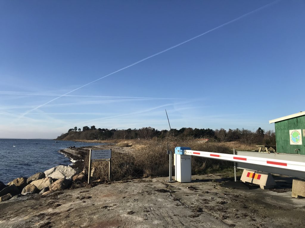
I hope you have enjoyed my walk and experienced the beauty of nature in all colors.
- and I hope that I have inspired you to take this walk on Store Karlsminde Cliffs at Roskilde Fjord in all kind of weather – its beautiful in all seasons spring, summer, autumn and winter.
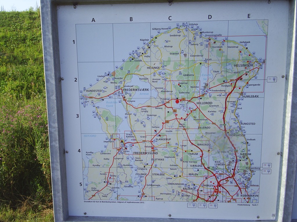
Map of North Sealand:
Click on photos and use your zoom control and you see them in full screen size.
Links:
Vinter 2022 i Nationalpark Kongernes Nordsjælland Vest med besøg i Færgelejet Sølager og de 35 meter høje kystskrænter Store Karlsminde ud til Roskilde Fjord
Text and photos Erik K Abrahamsen copyright 2025
All rights reserved
Enjoy life – be happy!
It’s a daily decision!
Melby, North Sealand, 22. January 2025
Love
Erik