Vinter 2016 ved Kattegats Kyst, Tisvilde Hegn, Tibirke Bakker og Arresø i Nordsjælland, Danmark.
Text and photos Erik K Abrahamsen.
Here in january 2016 its winter i Denmark – down to minus 16 degrees with snow all over Denmark the last week.
Liseleje Beach at Kattegat Coast, North Sealand, Denmark:
Click on photos and use your zoom control and you see them in full screen size and text on right side of photo disappear.

Liseleje Beach at Kattegat Coast, North Sealand, Denmark. View in direction east to Tisvilde Hegn, Tisvildeleje and Kullen Cliffs, Sweden in horizon. Photo about 11 a.m. the 21. january 2016 by Erik K Abrahamsen. Click on photo and use your zoom control and you see it in full screen size and the text on right side of photo disappear.
The 21. january 2016 I wake up to sunshine, blue sky, minus 10 degrees and with more than 10 cm snow all over the entire landscape.
I am living permanent in Melby, North Sealand, Denmark – only 2 km from the 100 km long Kattegat Coastline in North Sealand, Denmark.
Map of North Sealand, Denmark:
Click on photos and use your zoom control and you see them in full screen size.
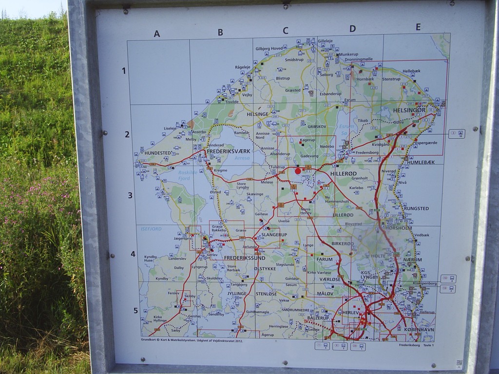
At 10 o´clock I started my 5 hours experience tour to Hyllingebjerg Cliff and Liseleje at Kattegat Coast.
Later on I moved to Tibirke Hill, Arre Lake and Tisvilde Forest 10-15 km from my house in Melby and close to Kattegat Sea.
I start my journey to visit:
Seven Highs (Syv Høje) – 7 burial mounds from Danish Bronze Age about 1500 B.C. – 300 m from my home in Melby:

View from top of Seven Highs (Syv Høje), Melby in direction east to Asserbo, Tisvilde Forest and Kattegat Coast in horizon:
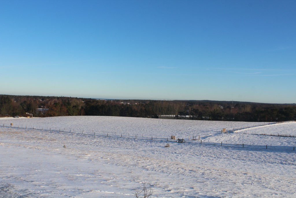
Seven Highs (Syv Høje) view in direction east to Asserbo and Tisvilde Hegn and Kattegat Coast in horizon:
Click on photos and use your zoom control and you see them in full screen size.
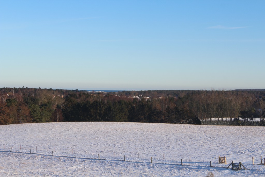
Seven Highs (Syv Høje) – view in direction north to Kattegat Sea, 2 km from here:
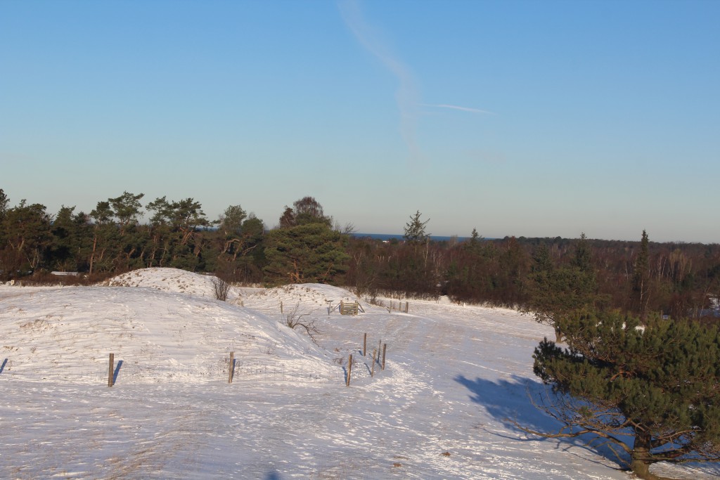
I continue my trip to 30 m high Hyllingebjerg Cliff at Kattegat Coast – 3 km from my home in Melby:

View from 30 m high Hyllingebjerg Cliff in direction east to Kattegat Sea and Kullen Cliff, Sweden in horizon:
Click on photos and use your zoom control and you see them in full screen size.

Stairs with 104 steps from 30 m top of Hyllingebjerg Cliff down to the beach at Kattegat Sea:

Hyllingebjerg Cliff – view in direction west to Kattegat Coast with Sealand Odde (Sjællands Odde) in horizon:
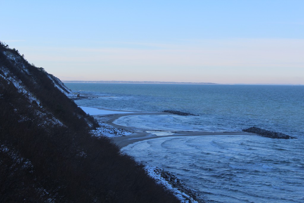
View from 30 m high Hyllingeberg Cliff in direction north to Kattegat Sea with island Hesselø in horizon:
Click on photos and use your zoom control and you see them in full screen size.
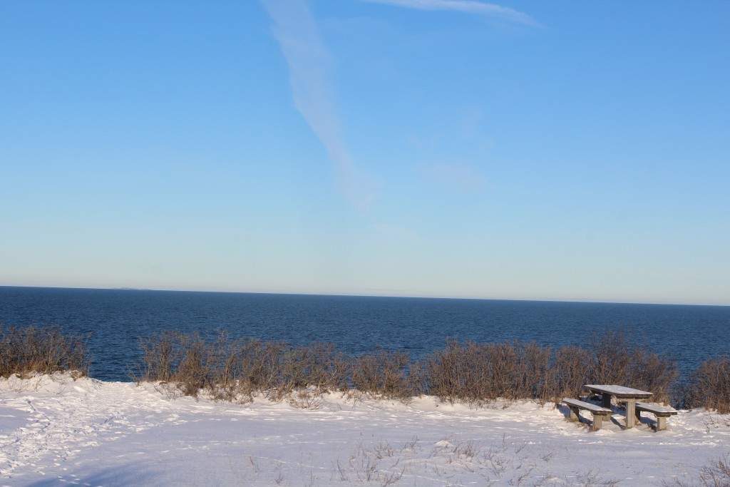
A about 11.a.m. I arrived to Liseleje Beach at Kattegat Coast – 1,5 km east of Hyllingebjerg Cliff:

Liseleje Beach at Kattegat Sea – view in direction east to Tisvilde Forest and Tisvildeleje with Kullen Cliff, Sweden in horizon:

Liseleje Coast at Kattegat Sea – view in direction east to Tisvilde Forest and Tisvildeleje with Kullen Cliff, Sweden in horizon:
Click on photos and use your zoom control and you see them in full screen size.

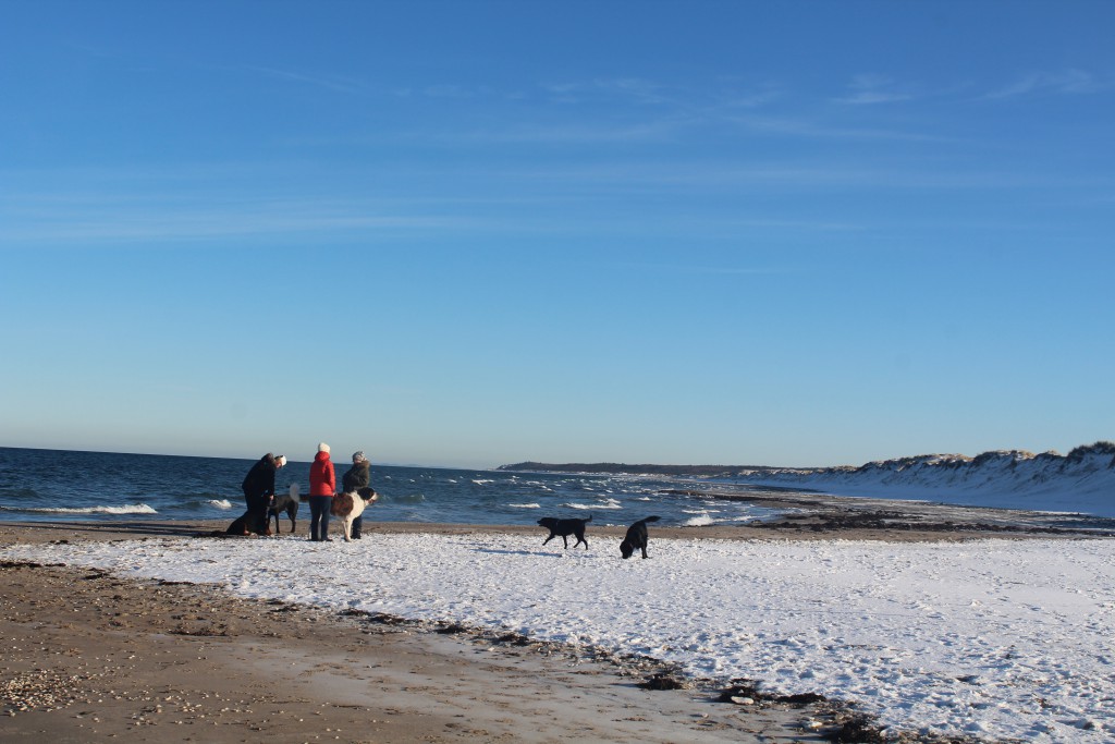
On Lisele Beach I met people with their dogs:
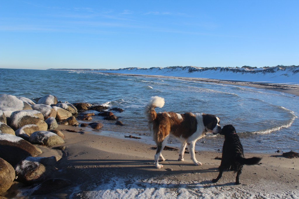
Dogs on Liseleje Beach at Kattegat Coast – play, fun and love:
People promenade with dogs on Liseleje Beach at Kattegat Coast:

View in direction west to Liseleje at Kattegat Sea:
Click on photos and use your zoom control and you see them in full screen size.

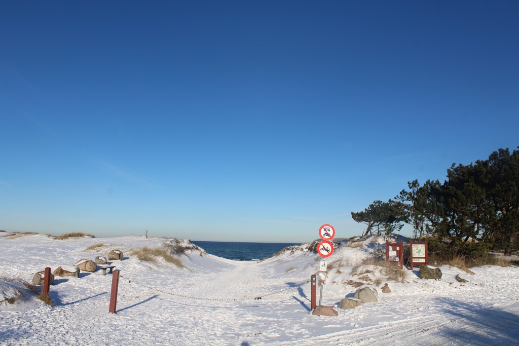
Main entrance from parking area to Liseleje Beach at Kattegat Sea:
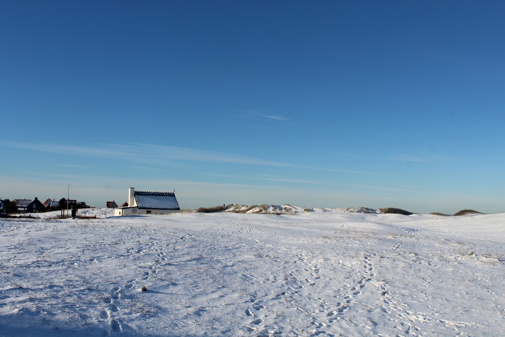
Liseleje “Ice House” builded 1901 to cool down all fishes landed by fishing boats here on the beach to be exported to all North Sealand:
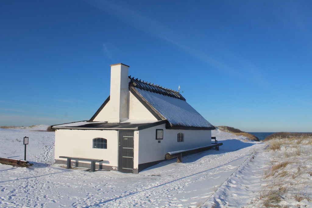
Liseleje “Ice House” builded 1901 to cool down fiches:
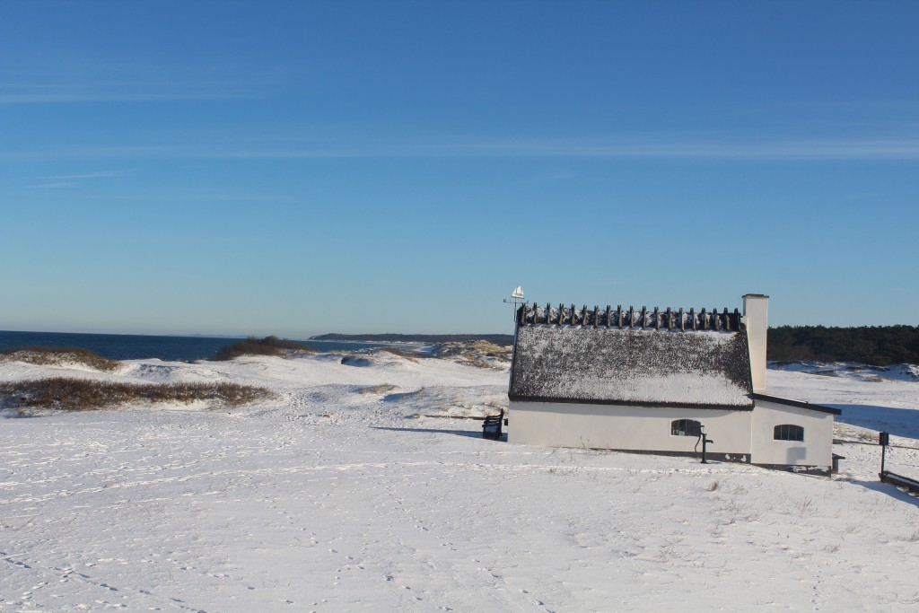
Liseleje “Ice House” 100 m from Kattegat Sea – view in direction east to Liseleje Beach, Tisvilde Hegn. Tisvildeleje and Kullen Cliffs, Sweden in horizon:
Click on photos and use your zoom control and you see them in full screen size.
Former landing place for fishing boats at Liseleje Beach since late 1700, when the fishing town Liseleje was established:

Liseleje Beach – landing place for fishing boats on the beach since late 1700:
Click on photos and use your zoom control and you see them in full screen size.

Liseleje Beach – view to “Pynten” with breakwater to protect the historical landing area for commercial fishing boats established in late 1700:
Click on photos and use your zoom control and you see them in full screen size.

I continue my winter trip and drive 10 km east to Tibirke Hills (Tibirke Bakker):
Tibirke Hills are one of the most beautiful areas in North Sealand. The hills are situated south-east and neighbor to Tisvilde Hegn, Kattegat Sea and north to Arresoe Lake.
Tisvilde Hills are formed under the last Danish Ice Age 12.-15.000 B.C. Its an area of 87 Ha. and is a hilly country with 5 major hills:
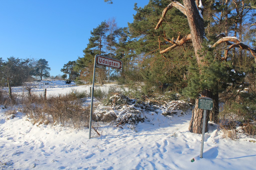
“Udsigten” – view point 57 meter above see level and
a point north 55 meter
-and south and south east points 49, 48 and 30 meter above sea level.
Map of Tisvilde Hegn (Tisvilde Forest), Tibirke Bakker (Tibirke Hills), Arresø (Arre Lake), Asserbo Plantage, Melby Overdrev, Tibirke, Tisvilde, Tisvildeleje and Kattegat Sea in North Sealand, Denmark:

Since 1100 A.C. Tibirke Hills has been used by the surrounding farms as grass fields to their animals.
Since 1700 sandstorm from Kattegat Sea covered Tibirke Hills and neighboring farmers with 1-2 meter of sand. The hills were cultivated with hjelme, marehalm and grass.
Neighboring 17 km2 area Tisvilde Hegn were since 1800 cultivated by forest to protect the area against sandstorm.
Tibirke Hills were since 1800 cultivated as a grass-growing area to animals from neighboring farms.
Public entrance to view point “UDSIGTEN” – 57 m above sea level:
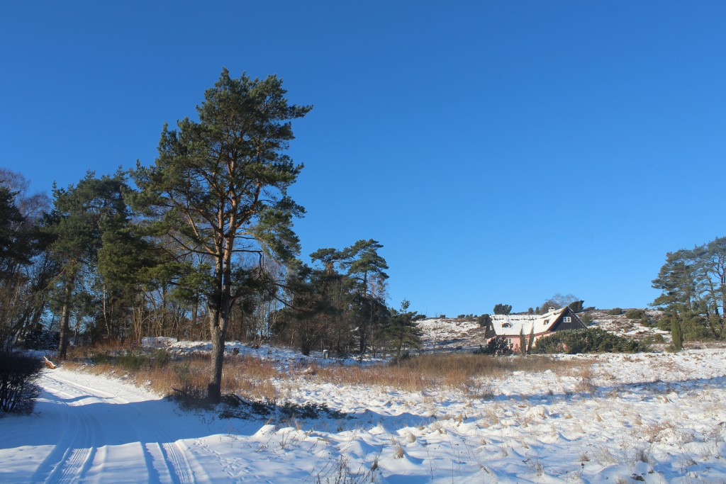
Tibirke Hill – a nature protected summerhouse area with strictly regulations of vegetation and house construction of outer surface – all roofs of straw:
Click on photos and use your zoom control and you see them in full screen size.

Public path to one of 5 hills in Tibirke Bakker – there is a raw deer right of the path:
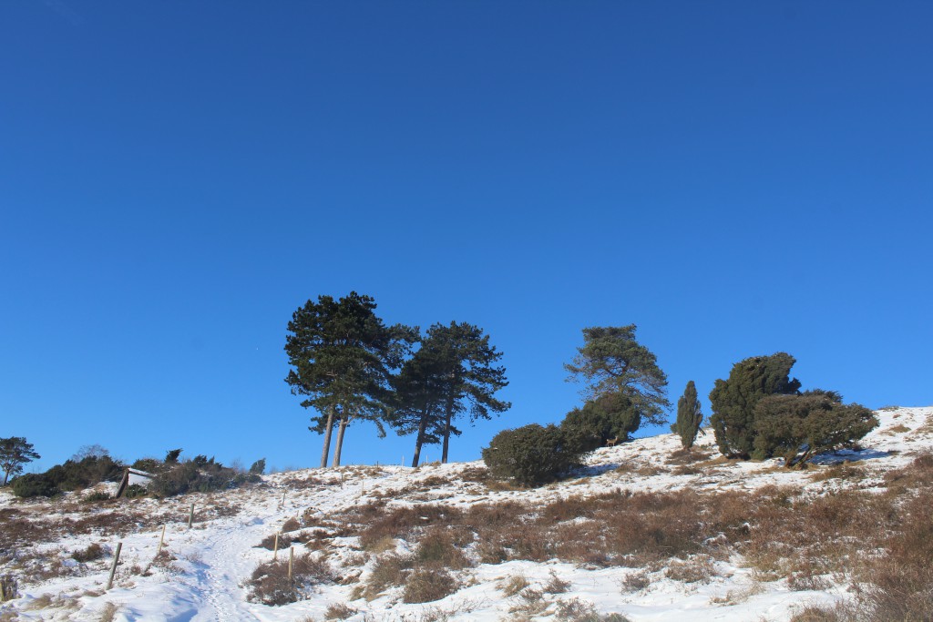
Tibirke Hills – a raw deer in wild winter nature close to public path:
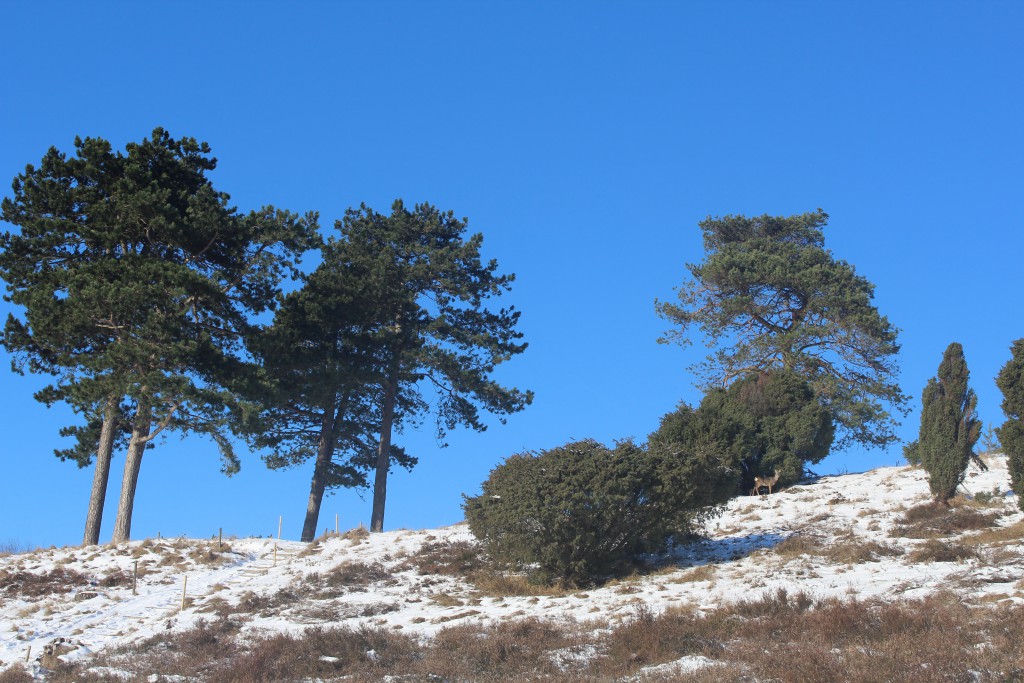
Tibirke Bakker – 2 raw deer “up-hill” on their run in wild nature:
Click on photos and use your zoom control and you see them in full screen size.

Panorama view from top one of the 5 hills in Tibirke Hills:

Panorama view in direction west to Arre Lake (Arresø) from one of 5 hills in Tibirke Bakker:
Click on photos and use your zoom control and you see them in full screen size.

Panorama view in direction south from one of 5 hills in Tibirke Bakker – a raw deer running “down-hill”:

View to Arre-Lake from hills in Tibirke Bakker:
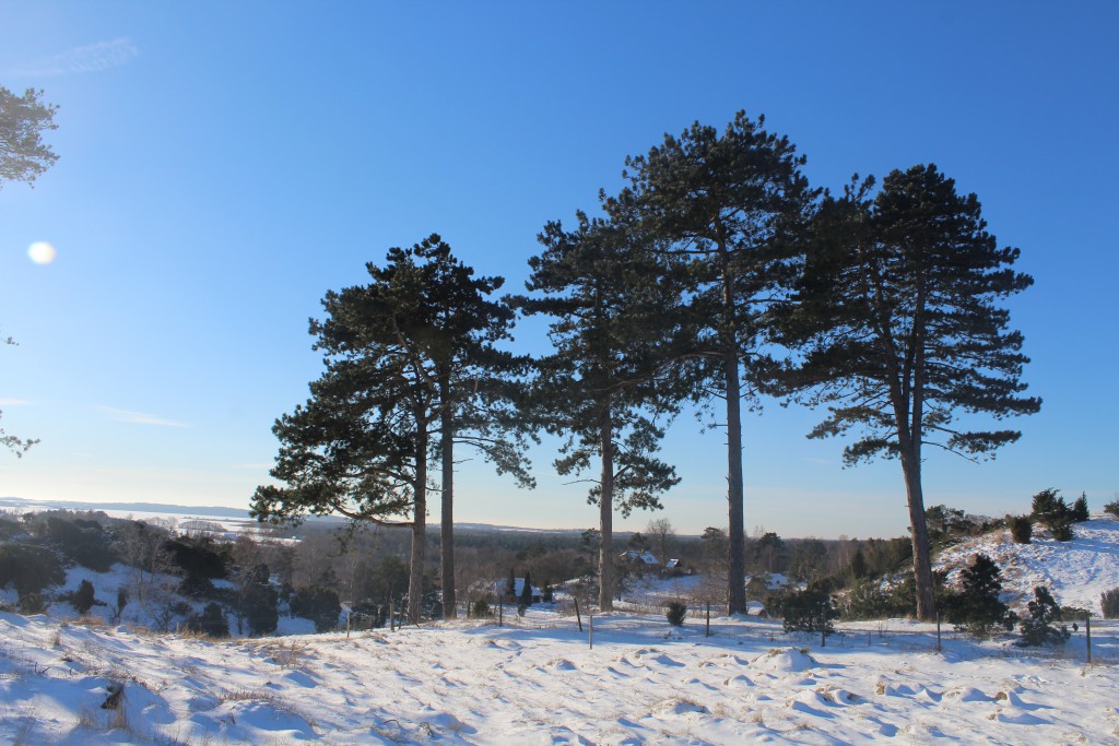
View from top of highest hill in “UDSIGTEN” – 57 meter above sea level:
Click on photos and use your zoom control and you see them in full screen size.
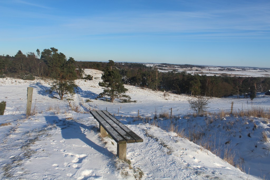
180 degrees PANORAMA VIEW from highest point in Tibirke Hills “UDSIGTEN”, 57 m above sea level –
6 photos from west to south to east:

Tibirke Bakker “UDSIGTEN” – view in direction West:
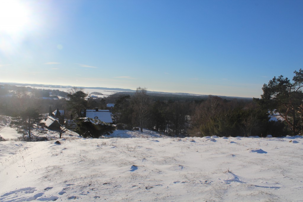
View in direction south-west from “Udsigten”, Tibirke Hills:

“UDSIGTEN”, Tibirke Bakker – view in direction south:
Click on photos and use your zoom control and you see them in full screen size.

“Udsigten” – 57 m above sea level. View in direction south-east:

“Udsigten”, Tibirke Hills – view in direction east:

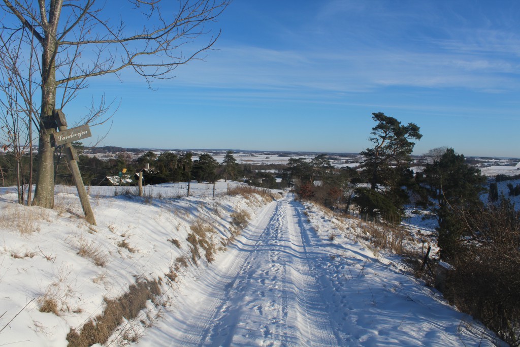
Private downhill road from top of hills in Tibirke Bakker to principal road Bækkebrovej::
After visiting Tibirke Hills I drive 3 km to Arre-Lake (Arresø):
Click on photos and use your zoom control and you see them in full screen size.

Ramloese River ends here and its water run into Arre-Lake:
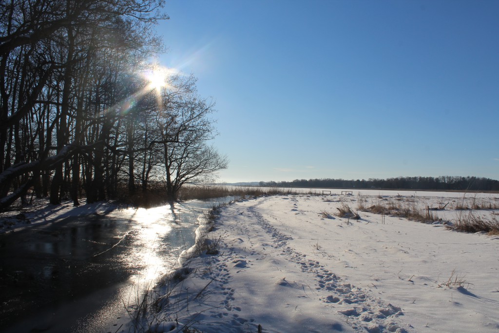
Ramloese River runs into Arre-Lake (Arresø) in North Sealand, Denmark:

Arre-Lake – view in direction south to Arrenaes right on photo:
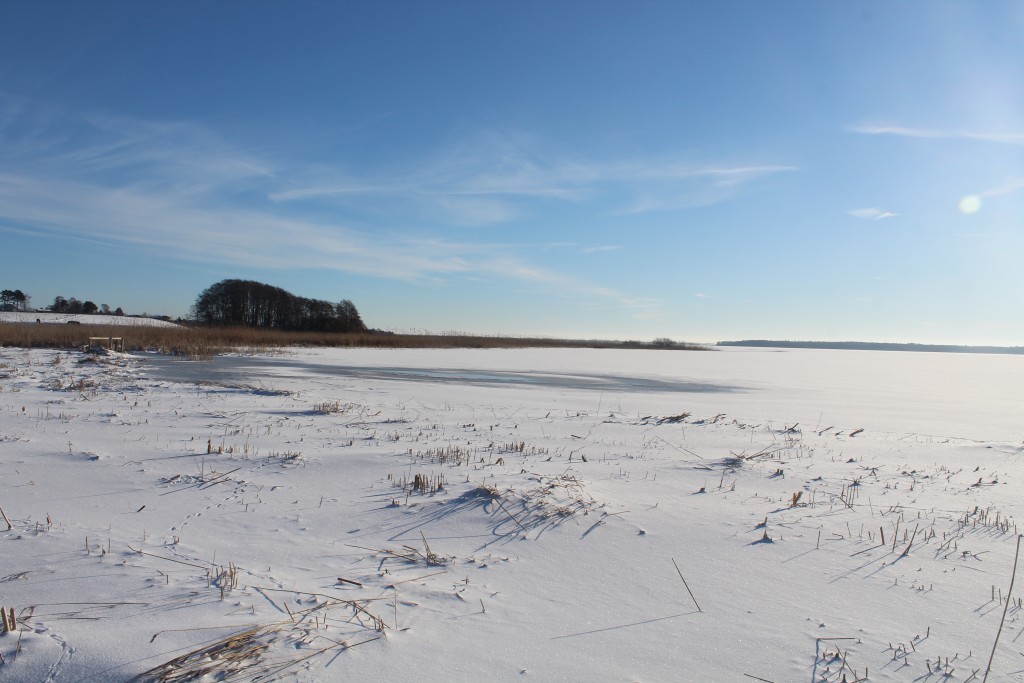
Deer traces in the snow – rather artistic:
Click on photos and use your zoom control and you see them in full screen size.

View to Arre-Lake (Arresø) from national principal road 205 between Ramløse and Frederiksværk:
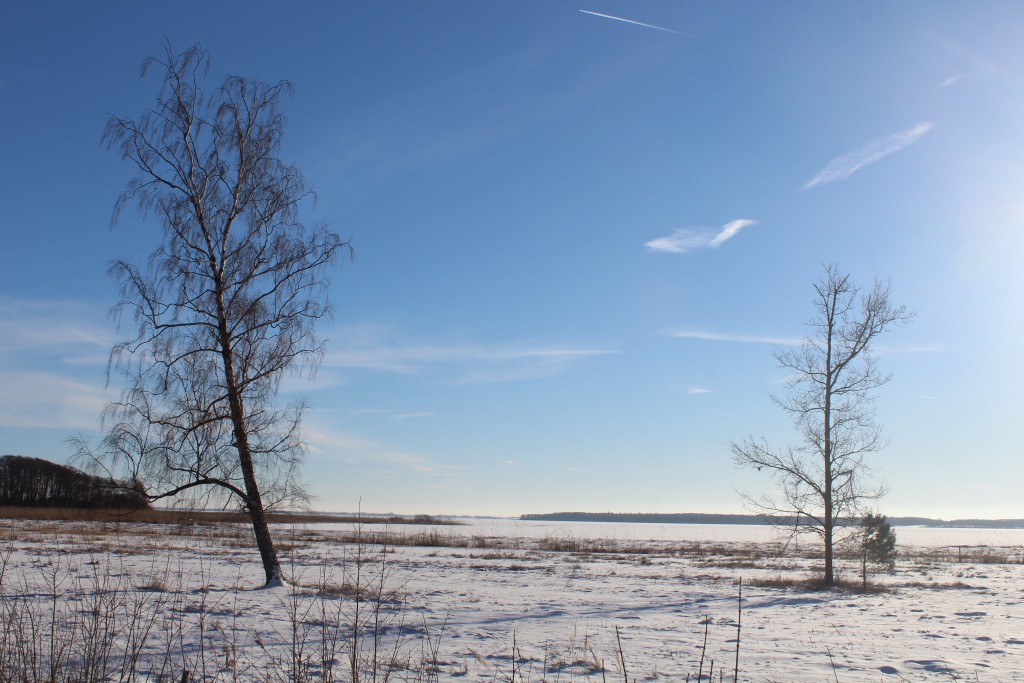
From Arre-Lake (Arresø) I continued my wonderful winter day trip and drive 2 km to one of the many entries to the forest Tisvilde Hegn at Asserbo Castle Ruin:

Plate of Tisvilde Hegn in North Sealand, Denmark:
Click on photos and use your zoom control and you see them in full screen size.

Tisvilde Hegn:
Tisvilde Hegn is the eldest sand hill plantation in Denmark and situated in North Sealand beween Kattegat Sea, Arresø, Liseleje, Asserbo, Tisvilde, Tisvildeleje and Tibirke. The plantation was established from 1793 and 1875 to protect the area from sanddrift, which started around 1500 and destroyed all farmings and villages the next 200 years and was stopped 1730.
The entire plantation Tisvilde Hegn has an area of 13 km2 with a large variety of forest, plants, bogs, lakes, meadows, dunes, heaths, beaches with coast hills and elevated sea bottom from Danish Stone Age and Ice Age from 12.000-4000 B.C.
Tisvilde Hegn is a protected EU NATURA 2000 HABITAT area and protected by Danish laws: Naturbeskyttelsesloven, Skovloven and Miljømålsloven.
NATURA 2000 nr. 135, HABITAT H119 TISVILDE HEGN and MELBY OVERDREV include: Tisvilde Hegn, Melby Overdrev, Tibirke Bakker, Asserbo Plantage and Liseleje Plantage.

Tisvilde Hegn:
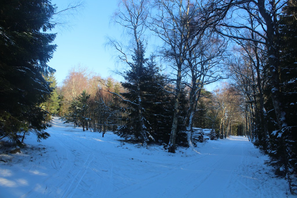
Beach Road between Tisvildleje and Asserbo – only 500 m from Kattegat Coast in Tisvilde Hegn:
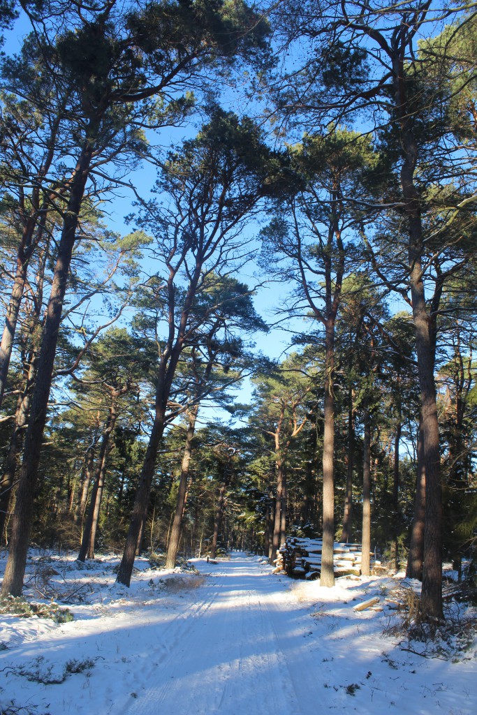
A couple on ski on Beach Road (Strandvejen) between Tisvildeleje and Asserbo, Tisvilde Hegn:
Click on photos and use your zoom control and you see them in full screen size.

The Kattegat Sea at “Troldeskoven” Beach, North Sealand – view in direction to Melby Overdrev, Asserbo Plantataion and Liseleje in horizon:
Click on photos and use your zoom control and you see them in full screen size.
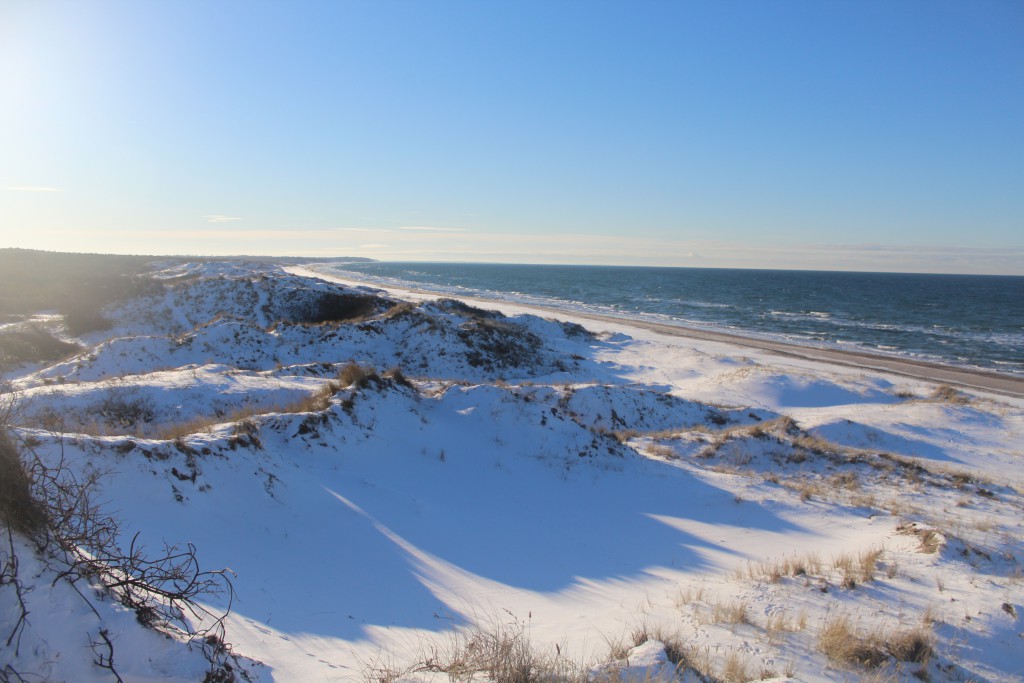
The Kattegat Sea at “Troldeskoven” Beach, North Sealand – view in direction to Melby Overdrev, Asserbo Plantataion and Liseleje in horizon:
Click on photos and use your zoom control and you see them in full screen size.

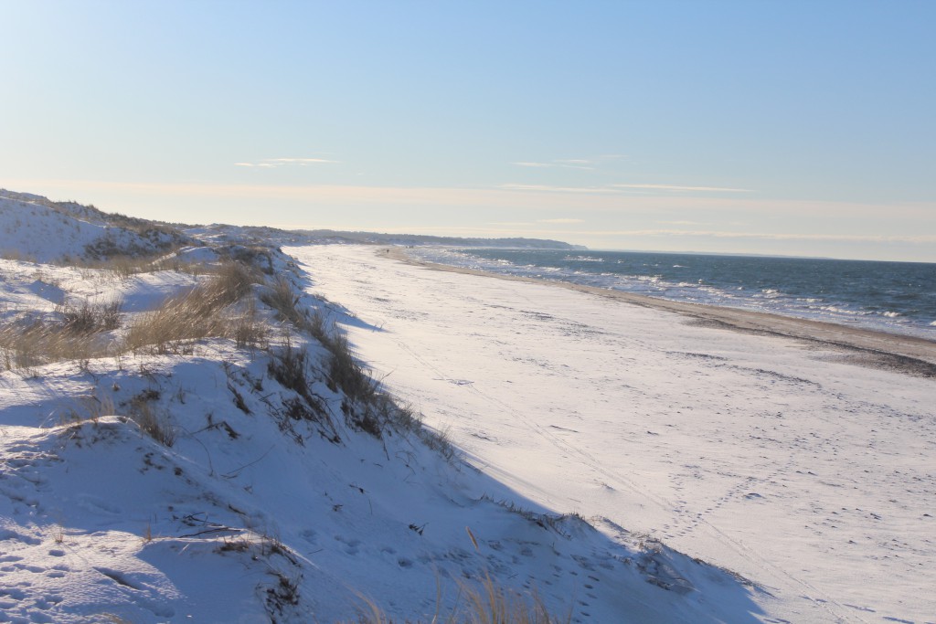
Kattegat Coast at “Troldeskoven” Beach, Tisvilde Hegn – view in direction east:

Kattegat Coast at “Troldeskoven Beach – view in direction west to Liseleje and Sjælland Odde in horizon:
Click on photos and use your zoom control and you see them in full screen size.
Now I walk into Tisvilde Forest – 1 km to hill with “HAREHØJE” burials mounds from Danish Bronze Age about 1500 B.C:
Click on photos and use your zoom control and you see them in full screen size.
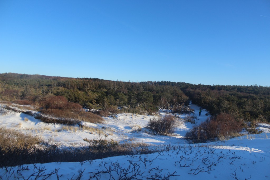
Burial mounds “HAREHØJE” from Danish Bronze Age about 1500 B.C. in Tisvilde Hegn:
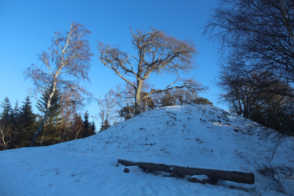
Burial mounds “HAREHØJE” from Danish Bronze Age about 1500 B.C. in Tisvilde Hegn:

View from top of burial mounds “Harehøje” in direction north to Kattegat Sea:
Click on photos and use your zoom control and you see them in full screen size.

View from Harehøje burial mounds north to Kattegat Sea with island HESSELØ in horizon:
Click on photos and use your zoom control and you see them in full screen size.
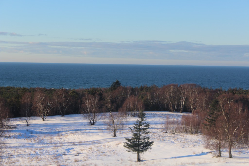
I walked 200 m into the forest to 4 burial mounds “Harehøje” with a 1,5 m high “jaettestone” ( jættesten):
View to Kattegat Coast from burial mounds “Harehøje”:
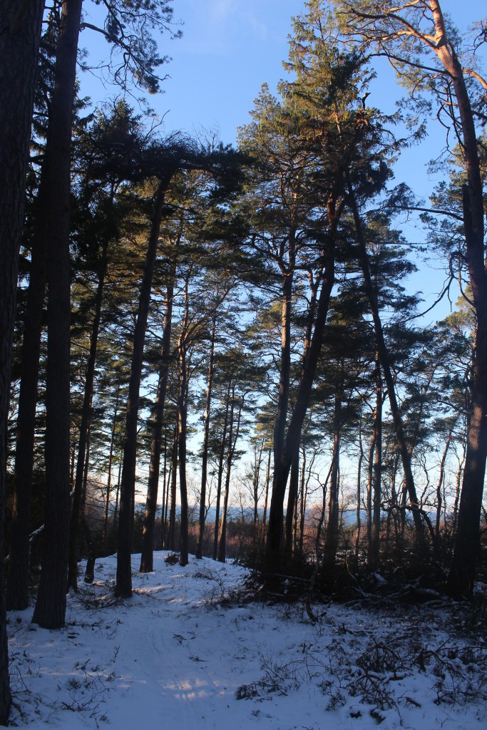
Harehøje burial mounds from Danish Bronze Age about 1500 B.C., Tisvilde Hegn:
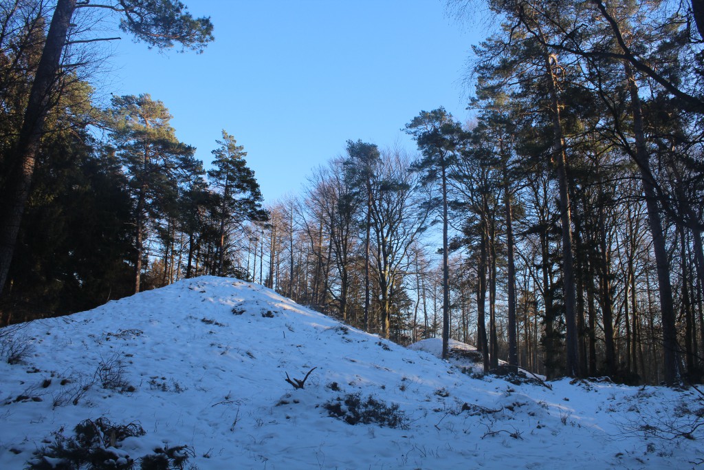
Burial mounds “HAREHØJE” and a JAETTESTONE from Danish Bronze Age about 1500 B.C. – Tisvilde Hegn:

On my walk back to parking place at Asserbo Castle Ruin I passed through the valley “ENEBÆRDALEN” with 2 burial mounds:
Click on photos and use your zoom control and you see them in full screen size.

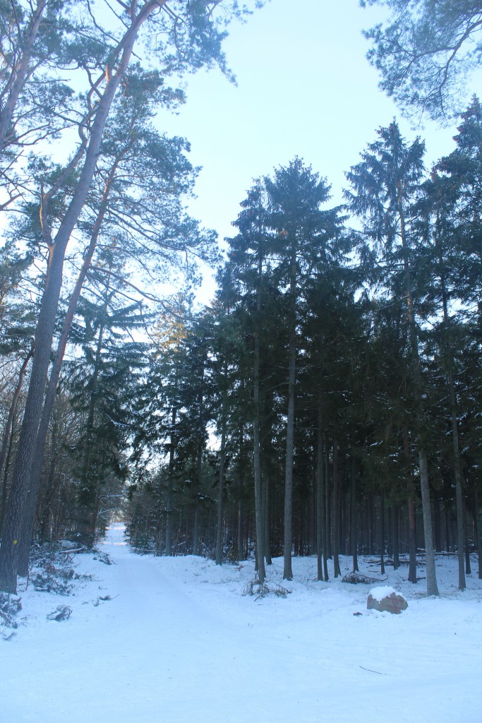
Road “LEJEVEJ” through Tisvilde Hegn in direction west back to parking place at Asserbo Castle Ruin:
Click on photos and use your zoom control and you see them in full screen size.
“Slotsport House” at entrance to Tisvilde Hegn and neighbor to Asserbo Castle Ruin:
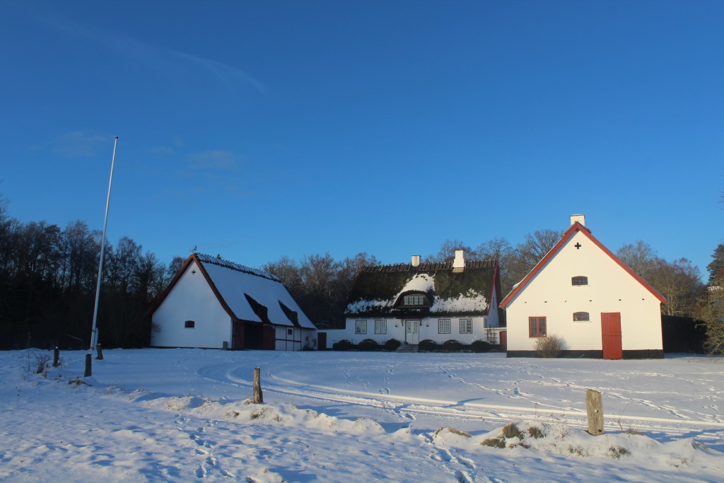
At 4 pm I am back – after 1 hour and 5-6 km walk – on parking place at Asserbo Castle Ruin founded by bishop Absalon about 1100 A.C., Tisvilde Hegn:

Plate of Tisvilde Hegn at parking place at Asserbo Castle Ruin:
Click on photos and use your zoom control and you see them in full screen size.

What a beautiful winterday in all Denmark!
I hope that you have enjoyed my 6 hours trip by car and by walk here in North Sealand, Denmark.
This article is to inspire you and give you information of the beauty of nature through my text and 72 photos.
Text and photos Copyright 2016 Erik K Abrahamsen
Alle rights reserved
Enjoy life – Be happy!
Melby, North Sealand, Denmark 21. january 2016
Best wishes
Erik