Vinter 2015 – oplev Tibirke Bakker og Arresø i Nordsjælland, Danmark – iklædt sne, sol og blå himmel.
Text and photos Erik K Abrahamsen.
Tibirke Hills are one of the most beautiful areas in North Sealand. The hills are situated south-east and neighbor to Tisvilde Hegn, Kattegat Sea and north to Arresoe Lake.
Tisvilde Hills are formed under the last Danish Ice Age 12.-15.000 B.C. Its an area of 87 Ha. and is a hilly country with 5 major hills:
“Udsigten” – view point 57 meter above see level and
a point north 55 meter and south and south east points 49, 48 and 30 meter. above sea level.
Click on photos and use your zoom control and you see them in full screen size and text on right side of photo disappear.

Since 1100 A.C. Tibirke Hills has been used by the surrounding farms as grass fields to their animals.
Since 1700 sandstorm from Kattegat Sea covered Tibirke Hills and neighboring farmers with 1-2 meter of sand. The hills were cultivated with hjelme, marehalm and grass.
Neighboring 17 km2 area Tisvilde Hegn were since 1800 cultivated by forest to protect the area against sandstorm.
Tibirke Hills were since 1800 cultivated as a grass-growing area to animals from neighboring farms.
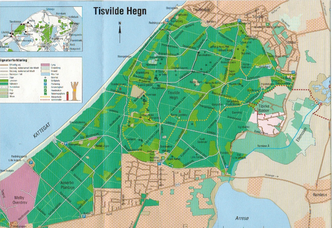
Map of Tisvilde Forest and Tibirke Hill´s in North Sealand at Kattegat Coast:
Tibirke Hills are a Nature Protected Area under Danish law “Naturbeskyttelsesloven” and EU-Habitat Natura 2000 nr. 135 (H119) to protect nature and its biodiversity.
In 1957 a Protection Danish Law ordered Tibirke Hills to be an open area with low growth of vegetation so the original landscape can be seen from all directions.
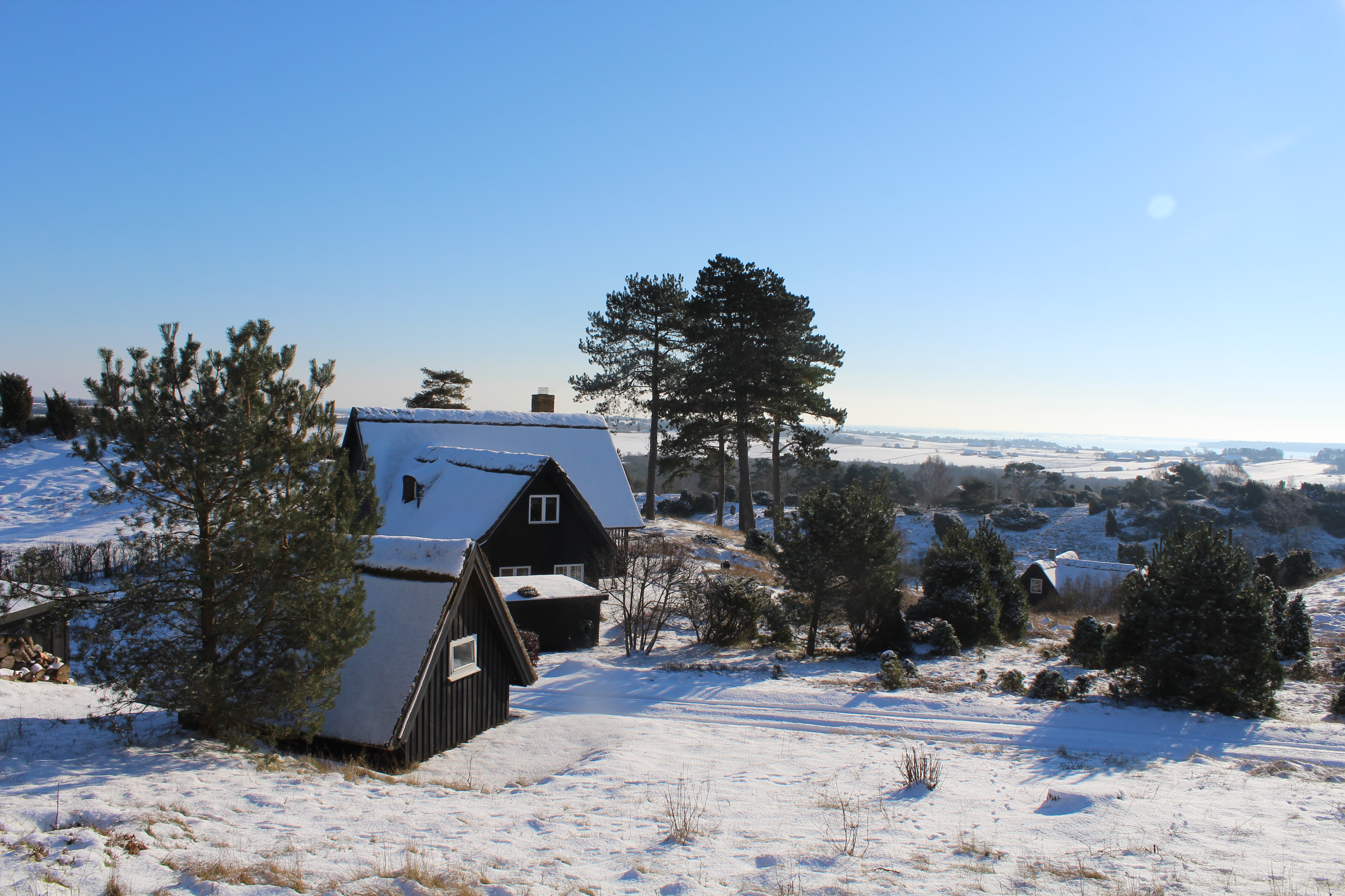
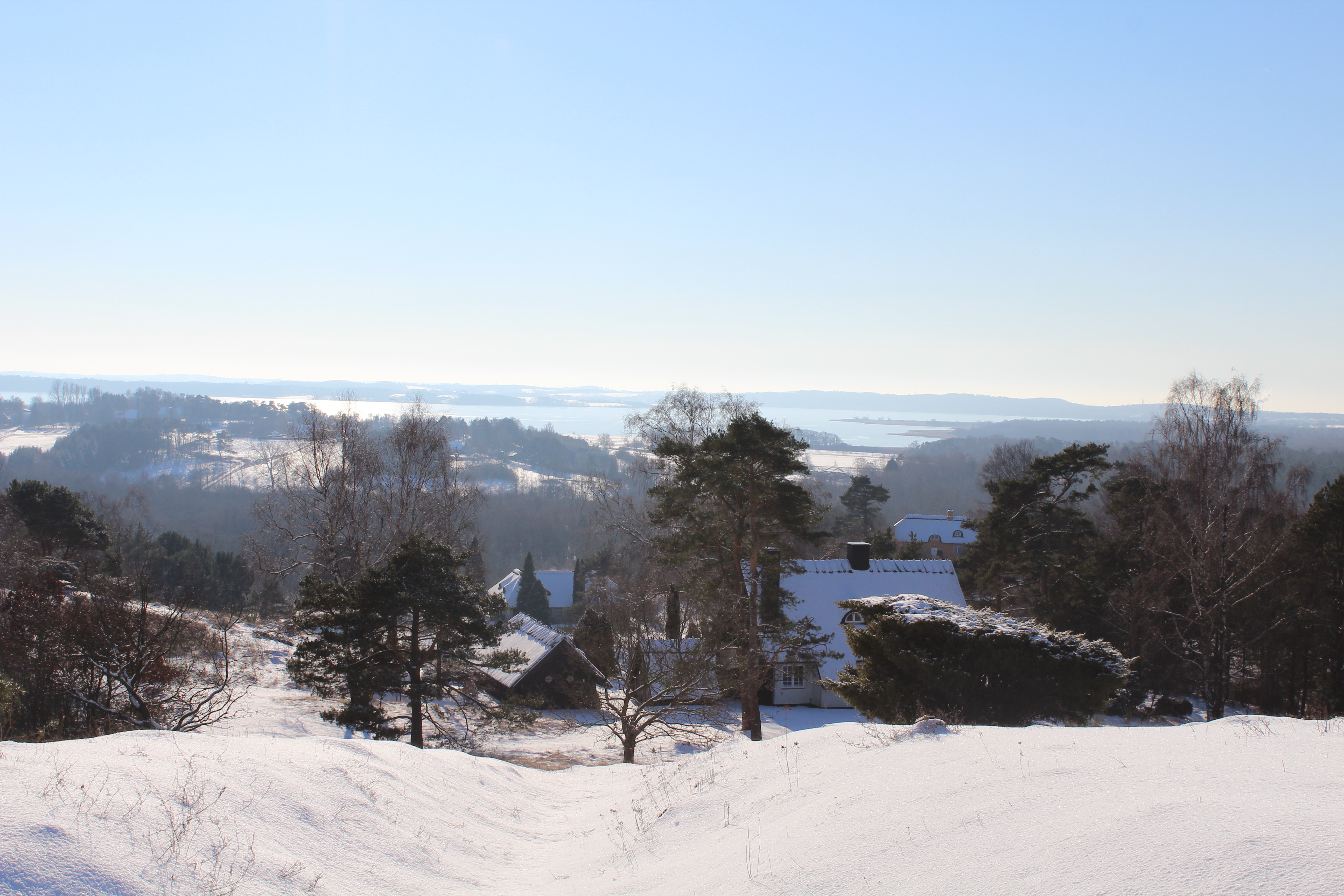
There are 47 summerhouses in Tibirke Hill with strict regulations of form, color and roof of the houses. Each plot of land is minimum 10.000 m2.
Summerhouse in Tibirke Hill´s:
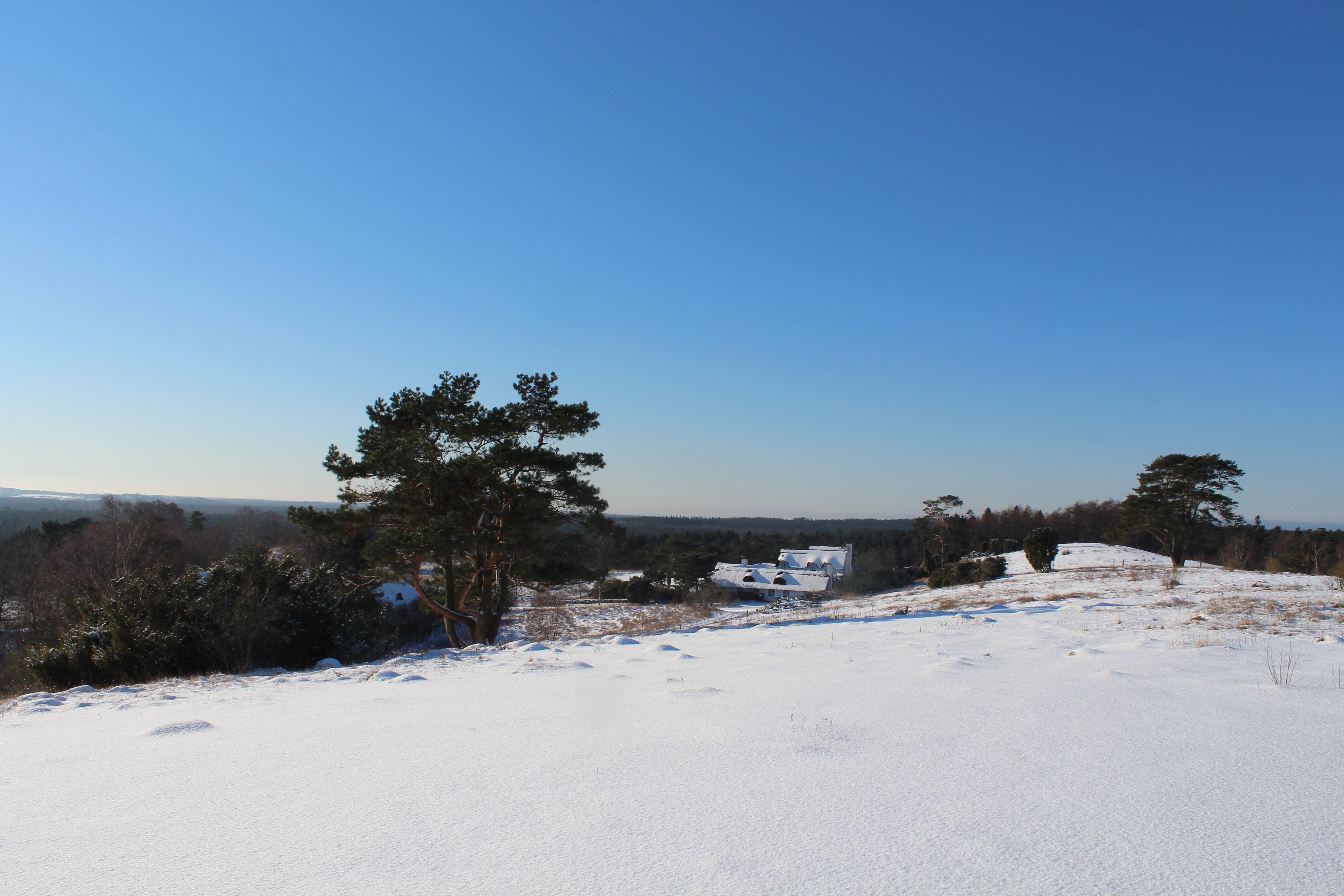
Tibirke Hills:
The Nature Preservation Law to Tibirke Hill order that the Tibirke Hills 87 Ha. area must be open hill-country with few tress with grass, heather, mulberry buches and juniper trees.

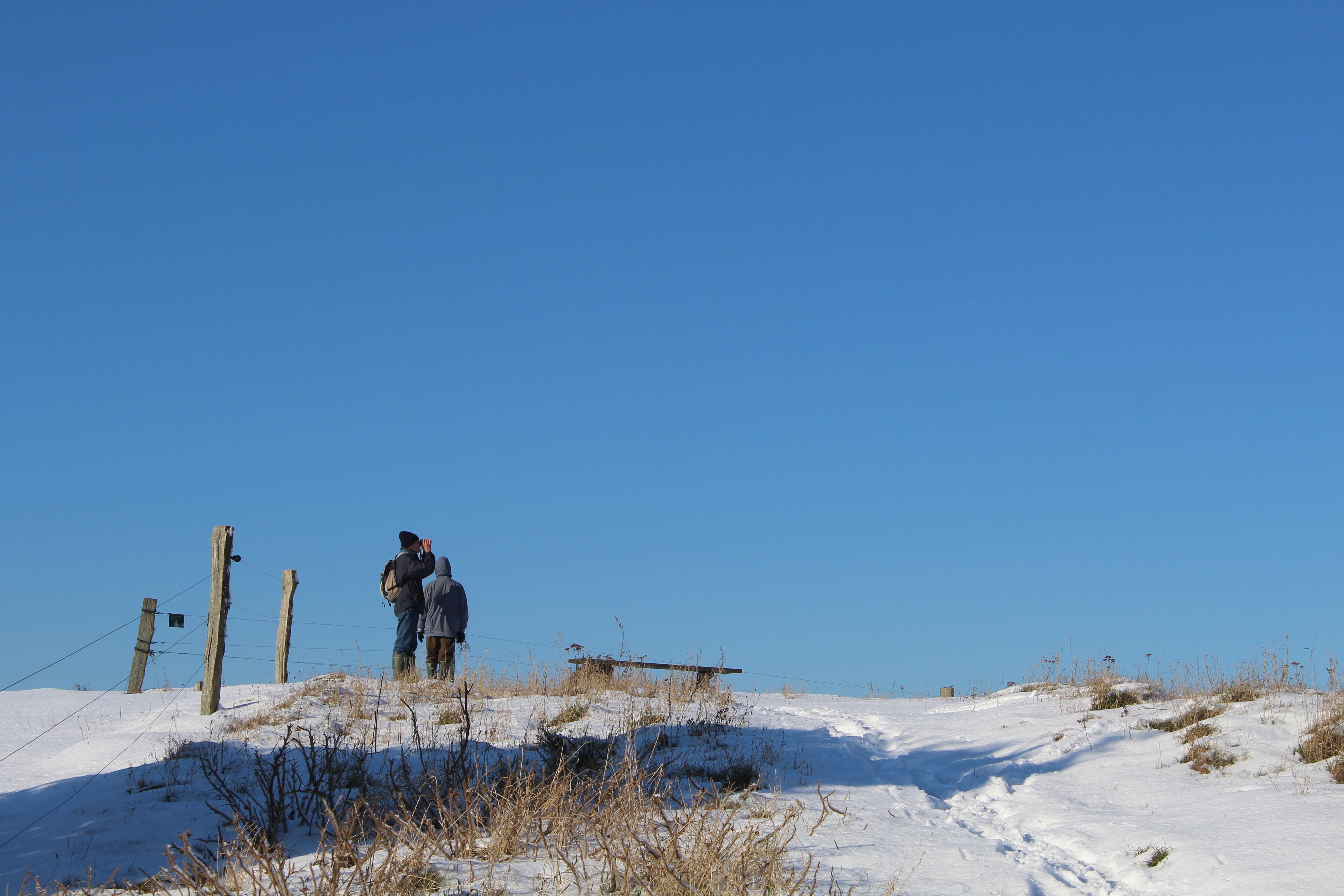
From Baekkebrovej nr. 38 there is an entrance to a public walk path that leads to the central area of Tibirke Hills and to hill point “UDSIGTEN” 57 meter above sea level:

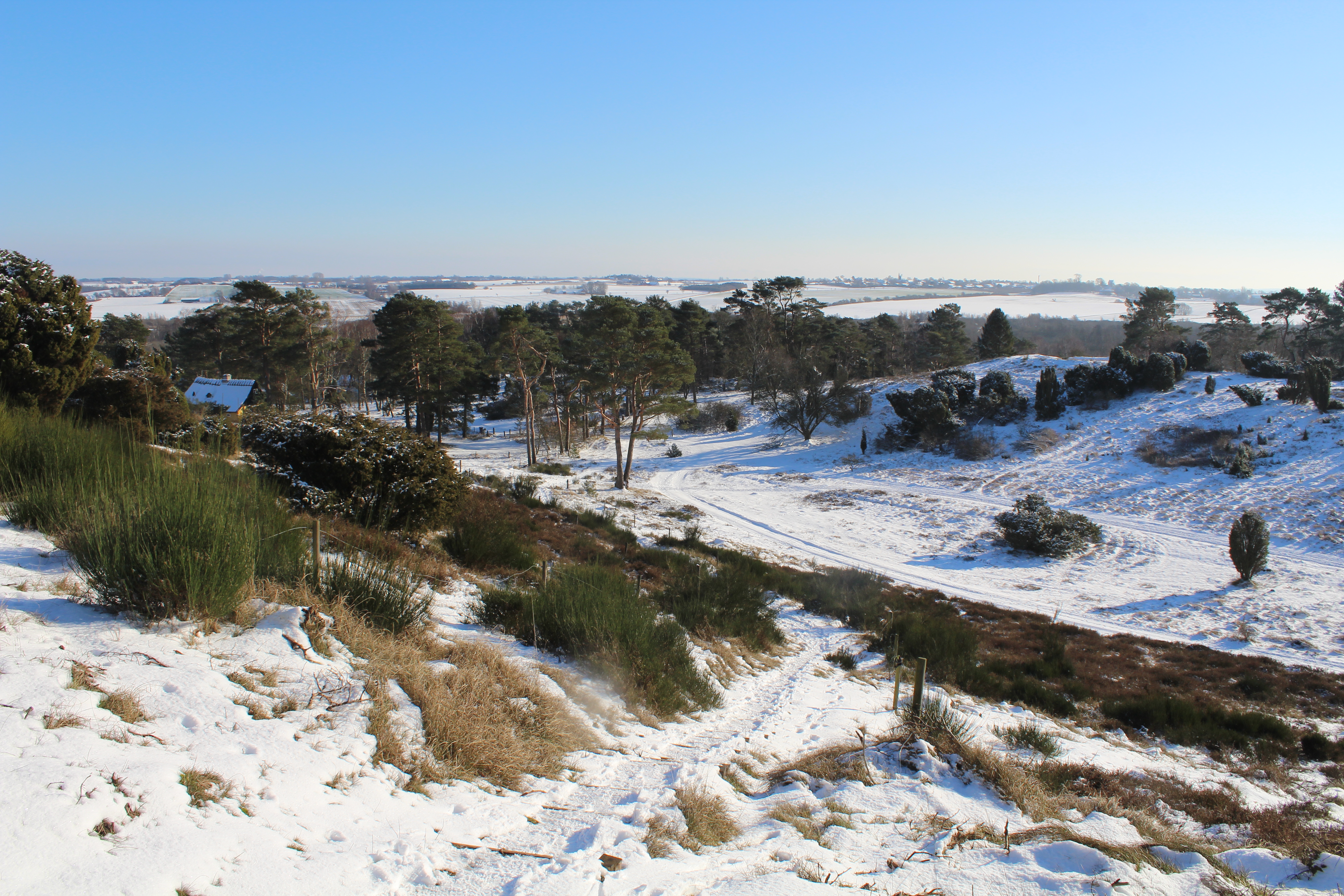
Public path into Tibirke Hill´s:

PANORAMA VIEW from east – south to west:
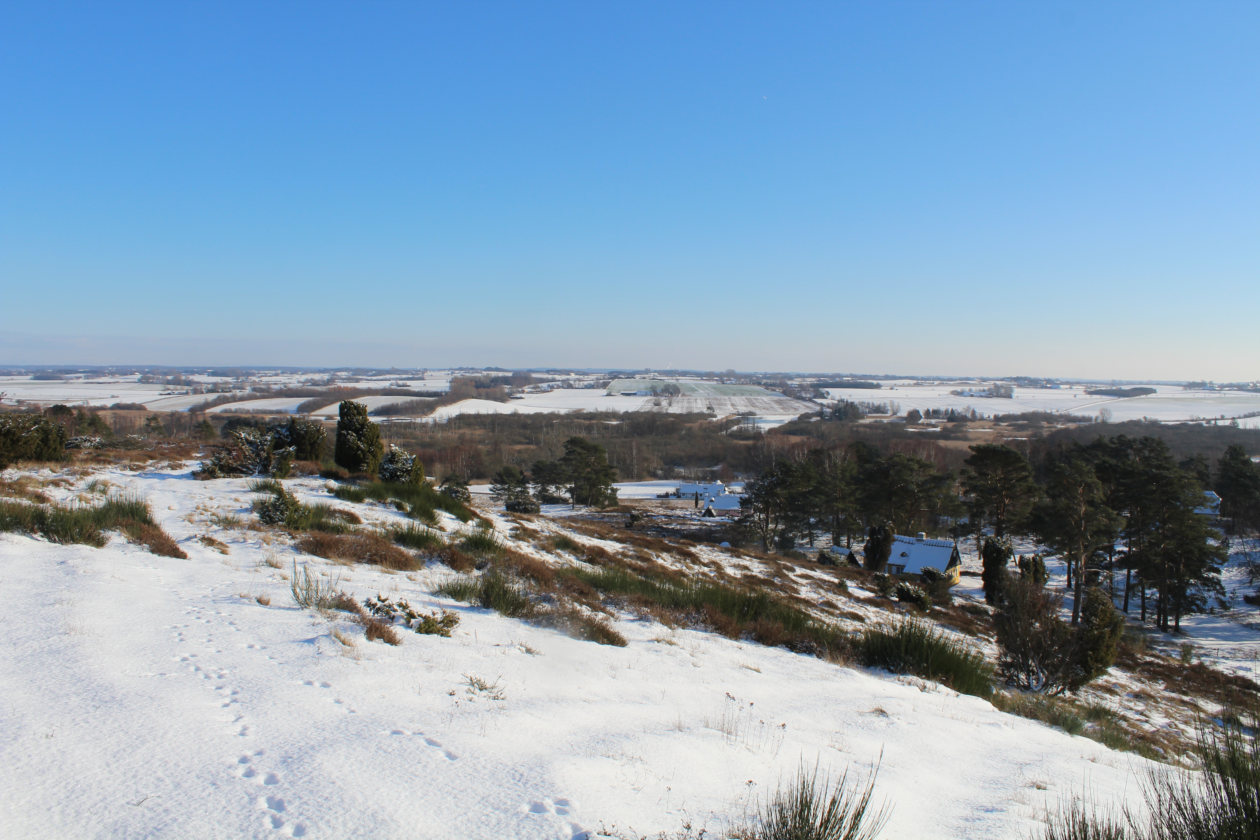
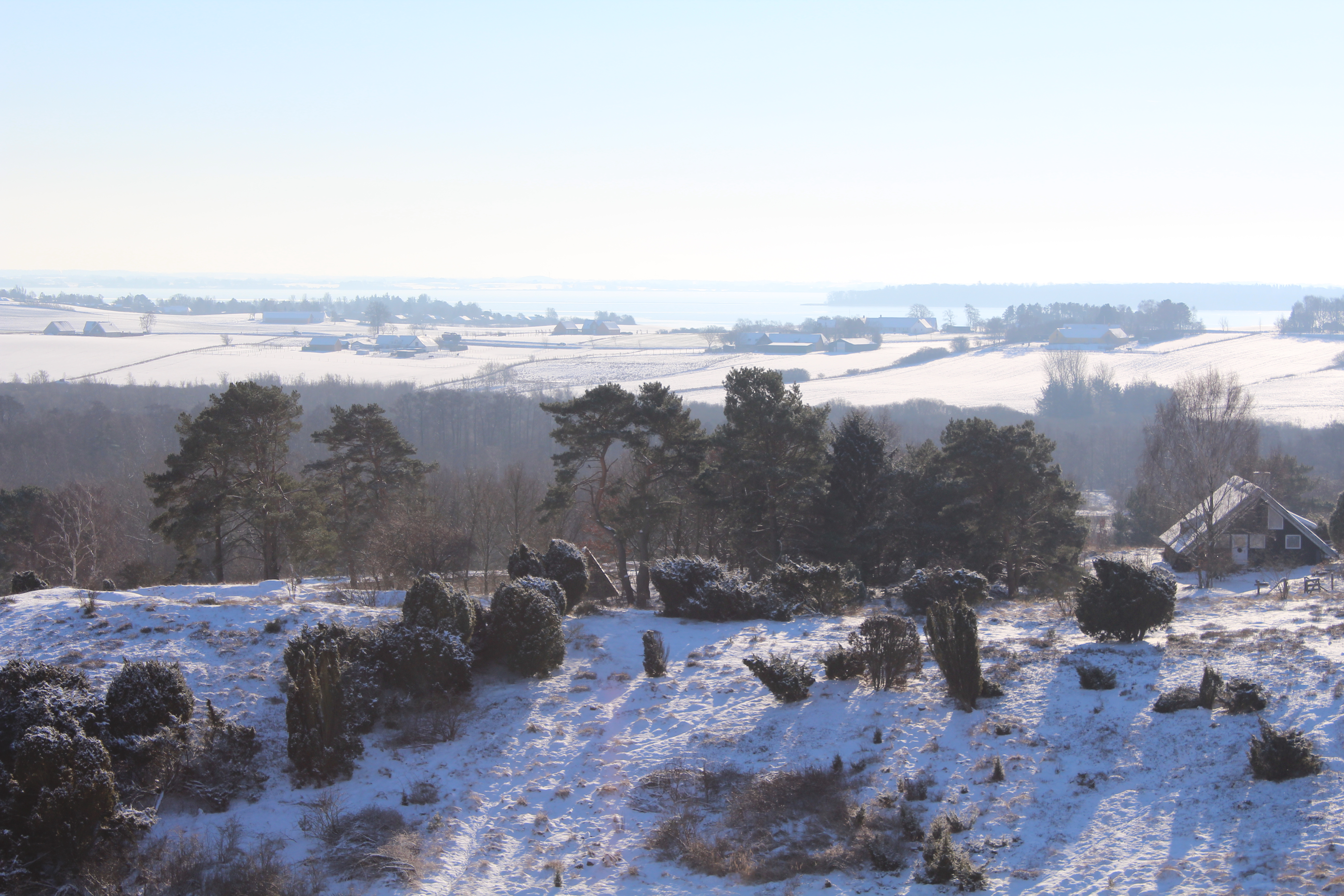
View in direction south to Holløse Bredning from one of the 5 hills in Tibirke Hills – here from hill – 49 meter above sea level:
Click on photos and use your zoom control and you see them in full screen size.
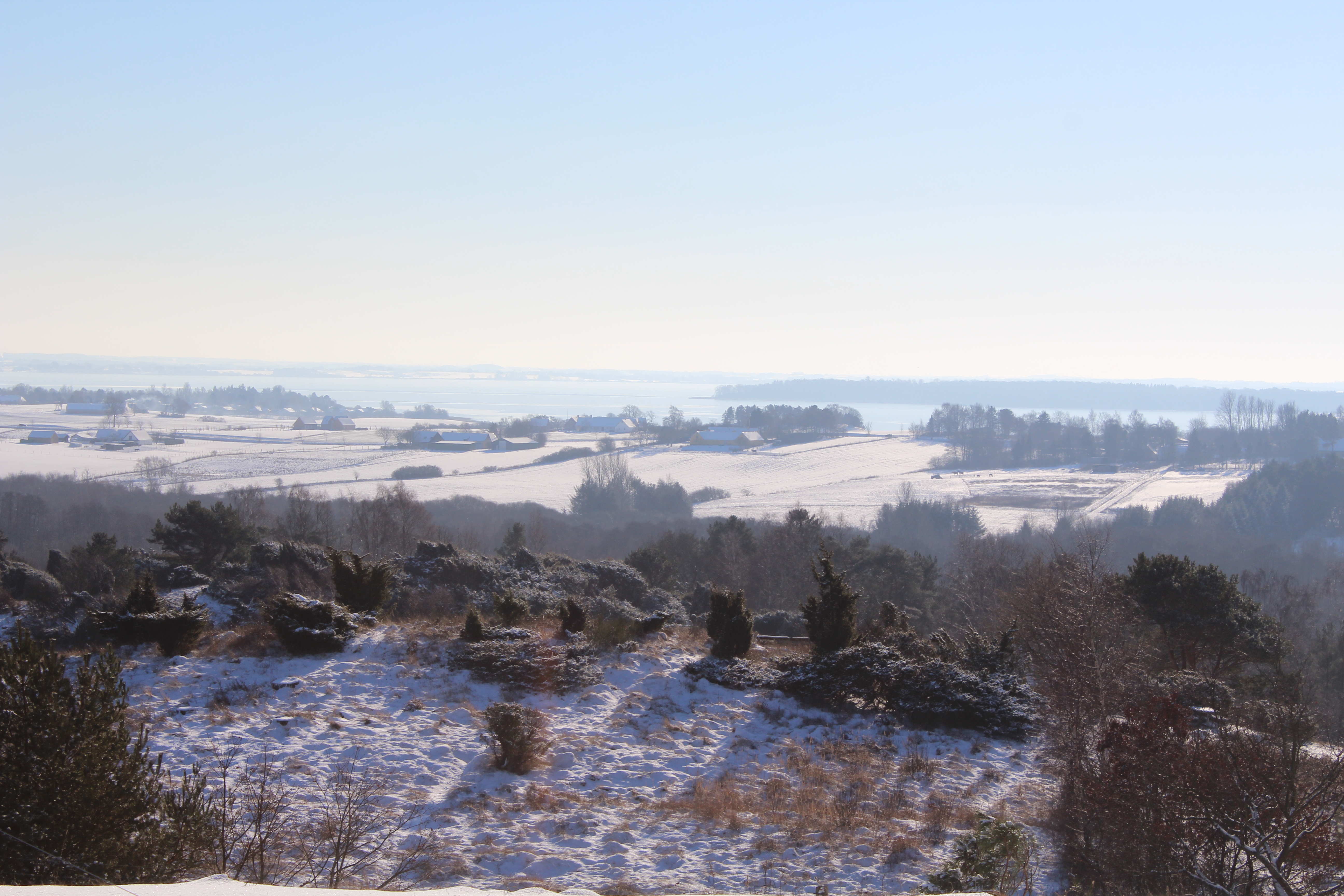
View in direction southwest to Arrsoe Lake from one of the 5 hills in Tibirke Hills – here from hill – 49 meter above sea level:
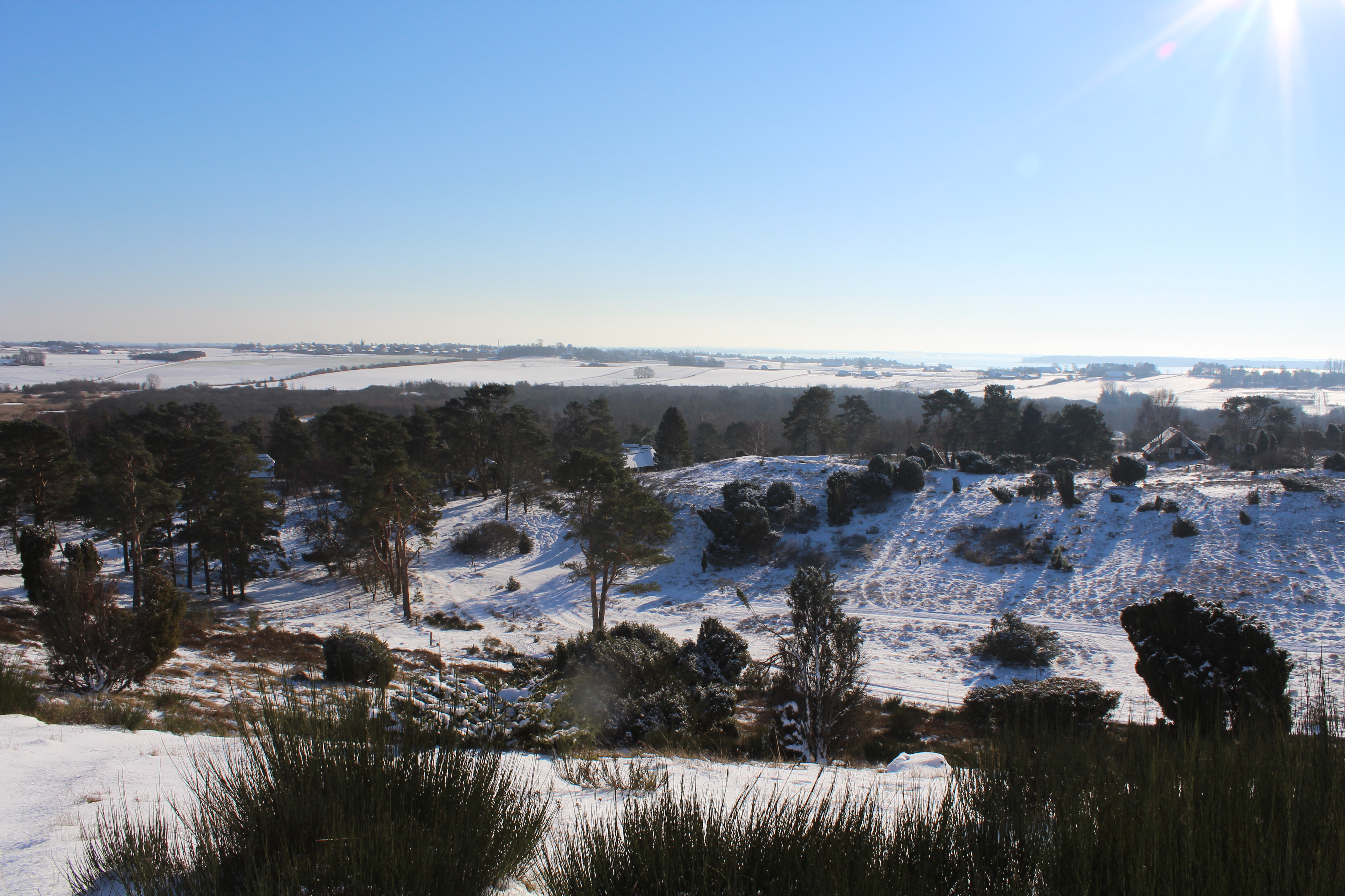
View in direction southwest to Arrsoe Lake from one of the 5 hills in Tibirke Hills – here from hill – 49 meter above sea level:
View in direction west to Arrsoe Lake from one of the 5 hills in Tibirke Hills – here from hill – 49 meter above sea level:
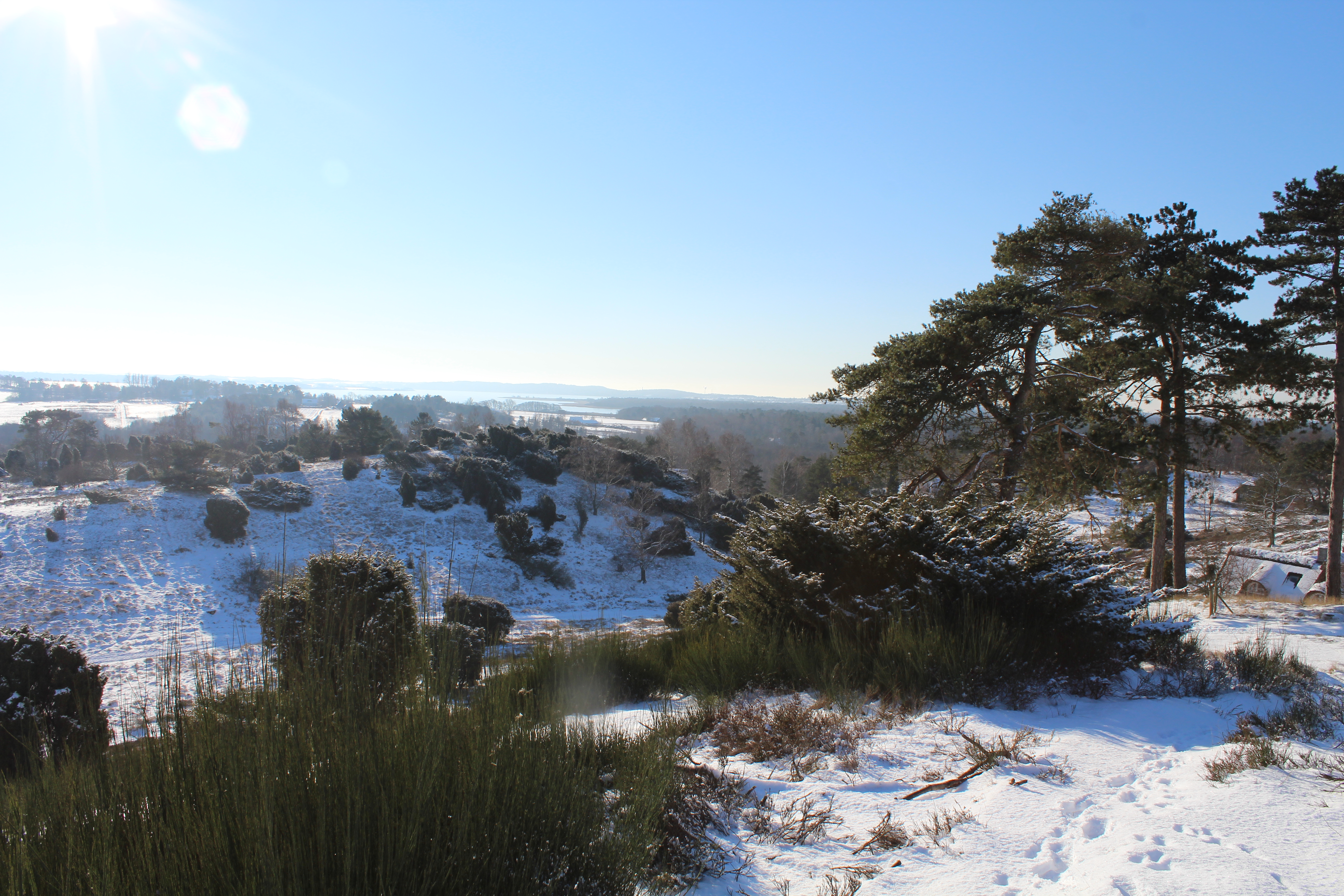
View in direction west to Arrsoe Lake from one of the 5 hills in Tibirke Hills – here from hill – 49 meter above sea level:
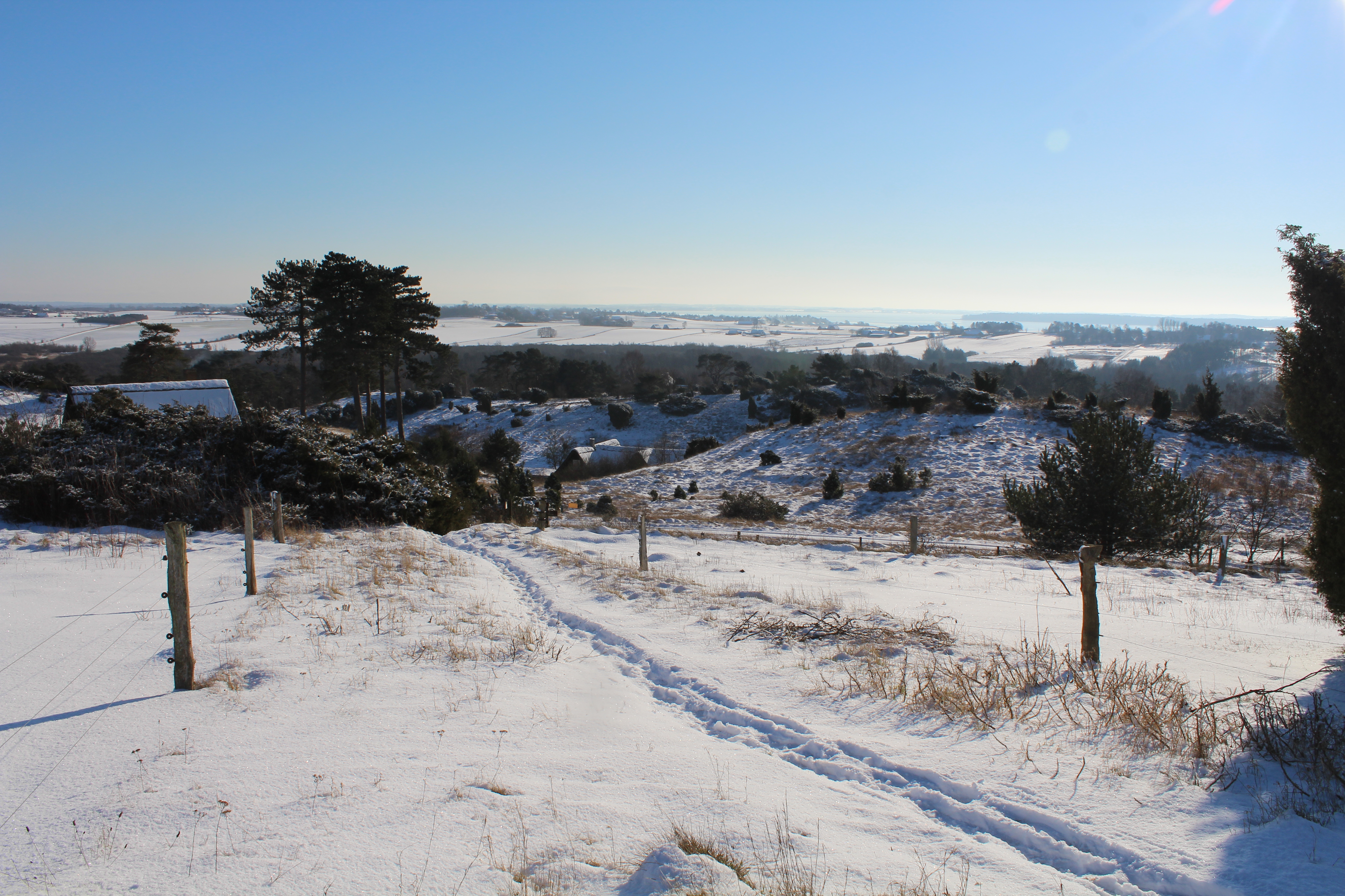
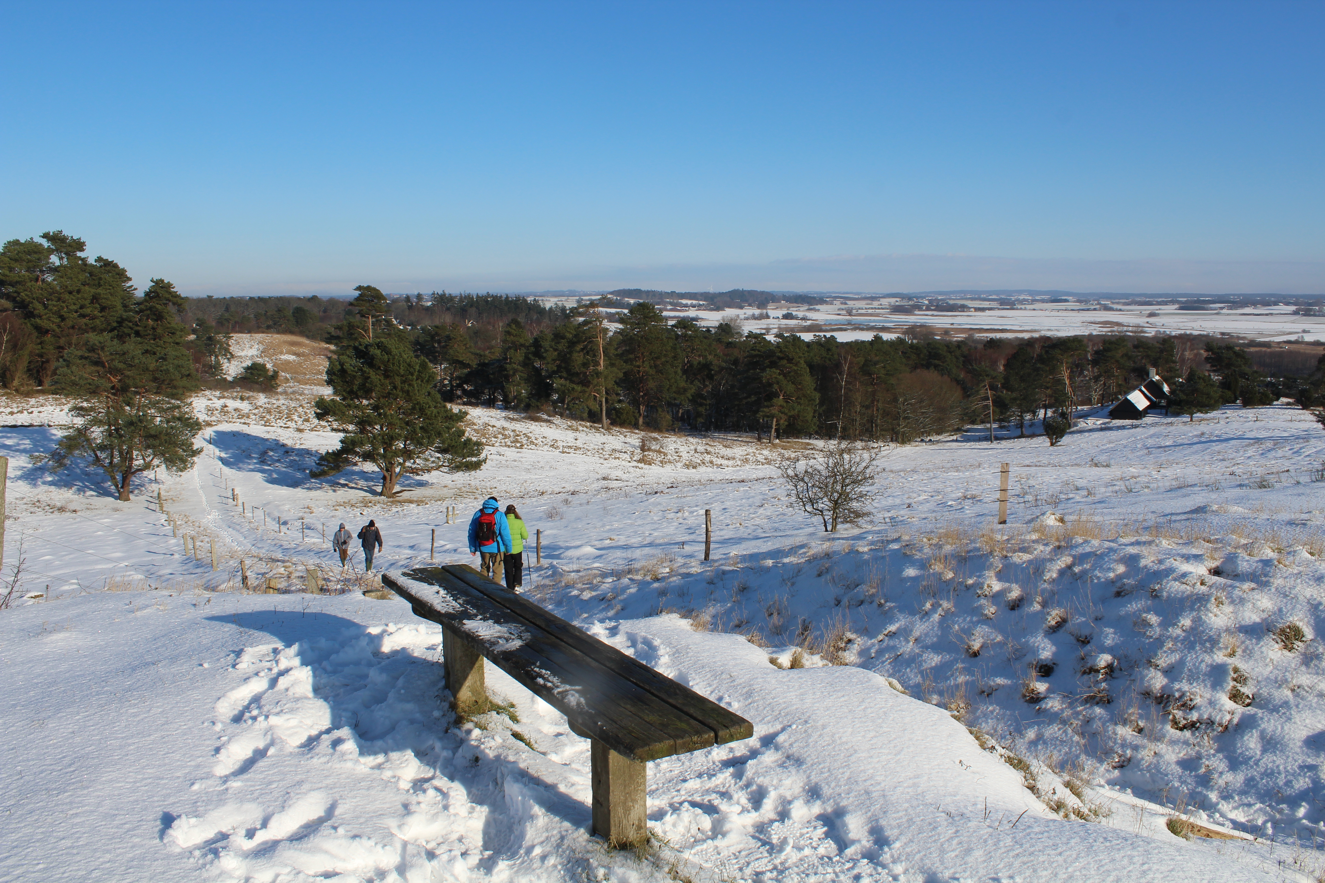
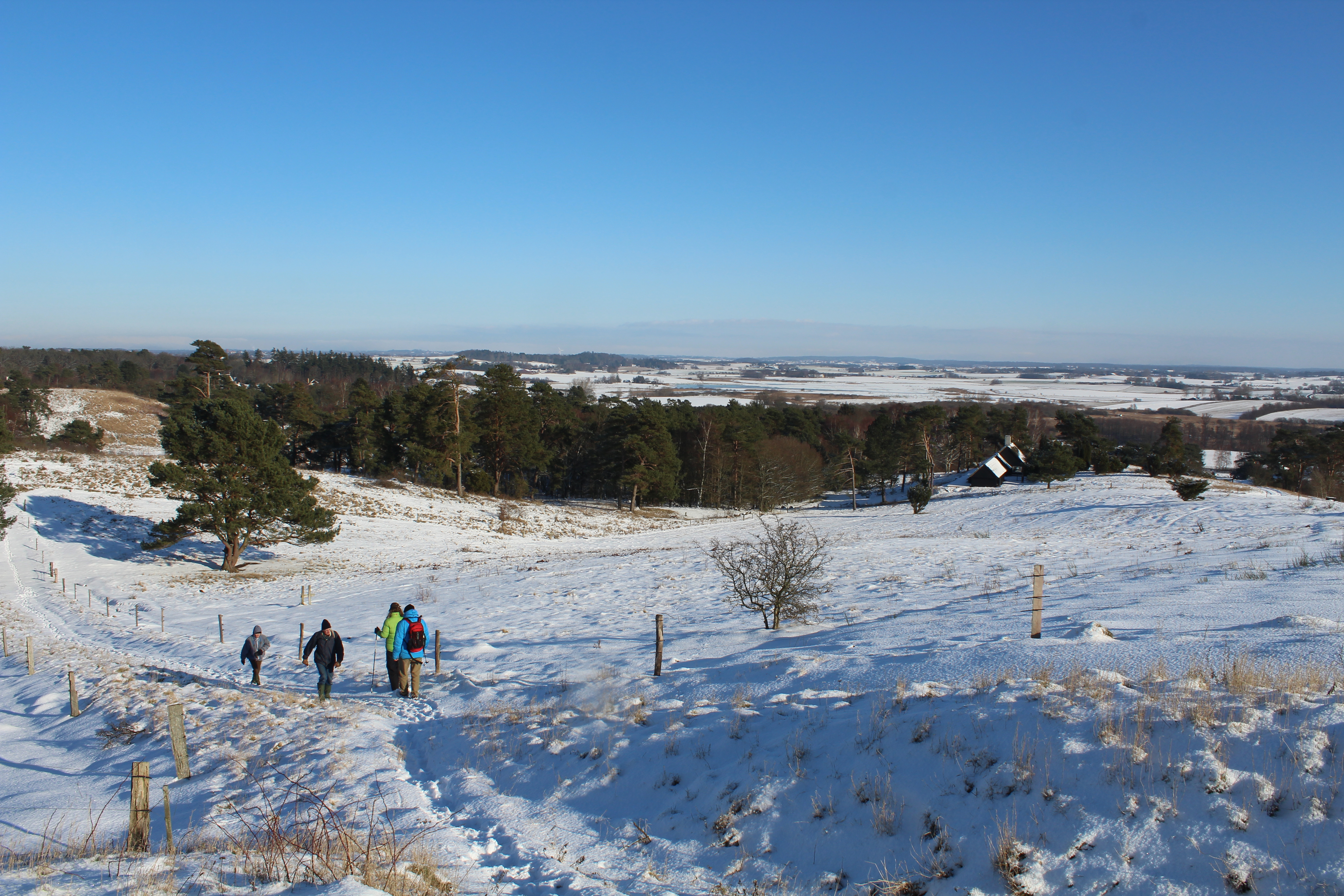
Public path to top of highest hill in Tibirke Hill Viewpoint “Udsigten” – 57 meter above sea level:

Public path to top of highest hill in Tibirke Hill Viewpoint “Udsigten” – 57 meter above sea level:
Tibirke Hills: Viewpoint “Udsigten” – 57 meter above sea level:
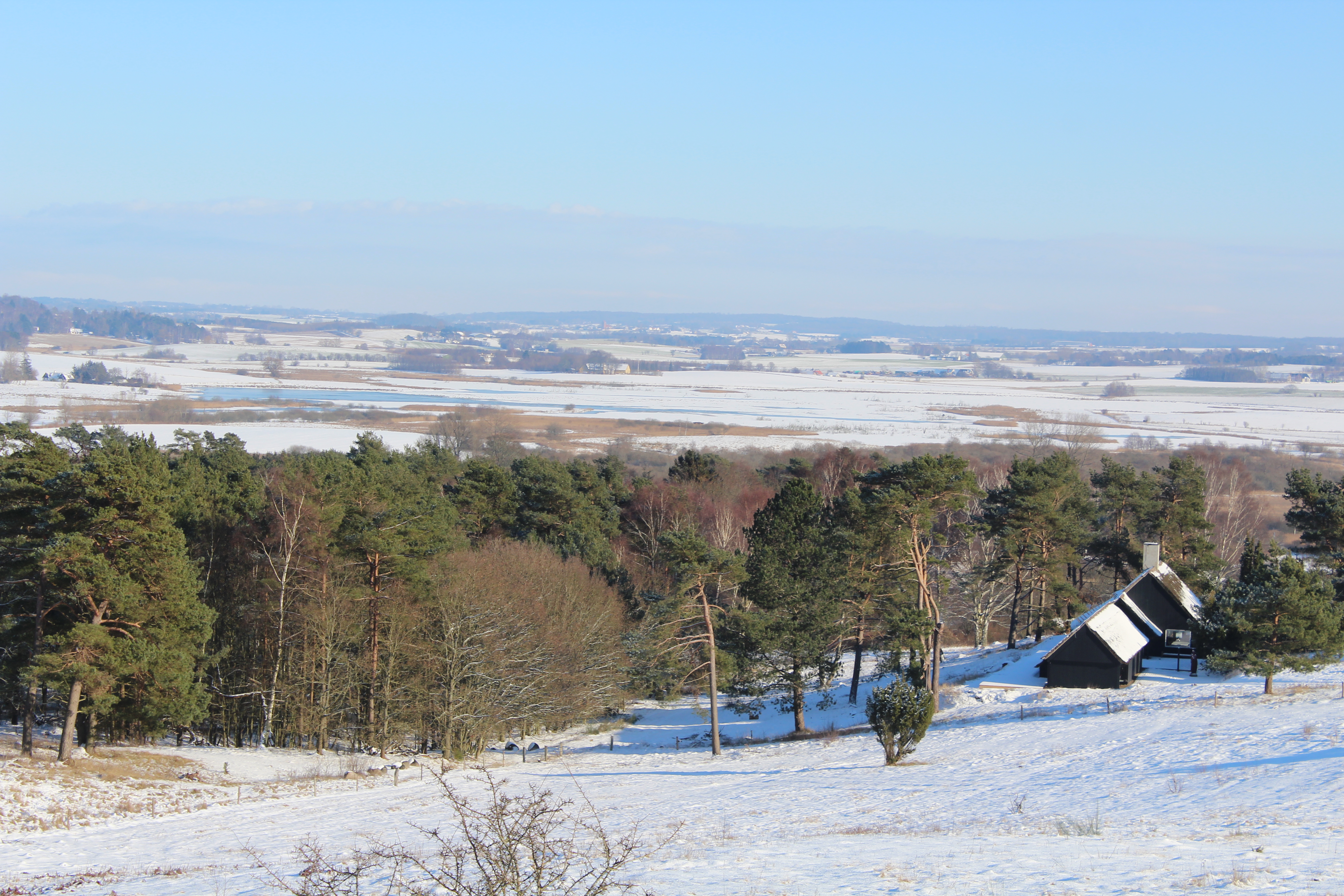
Tibirke Hills: Viewpoint “Udsigten” – 57 meter above sea level – view in direction east:
Viewpoint “Udsigten” PANORAMA VIEW from east – south and to west:
Panorama – view in direction southeast to Holløse Bredning:
Click on photos and use your zoom control and you see them in full screen size.
Panorama – View in direction south to Holløse Btedning:
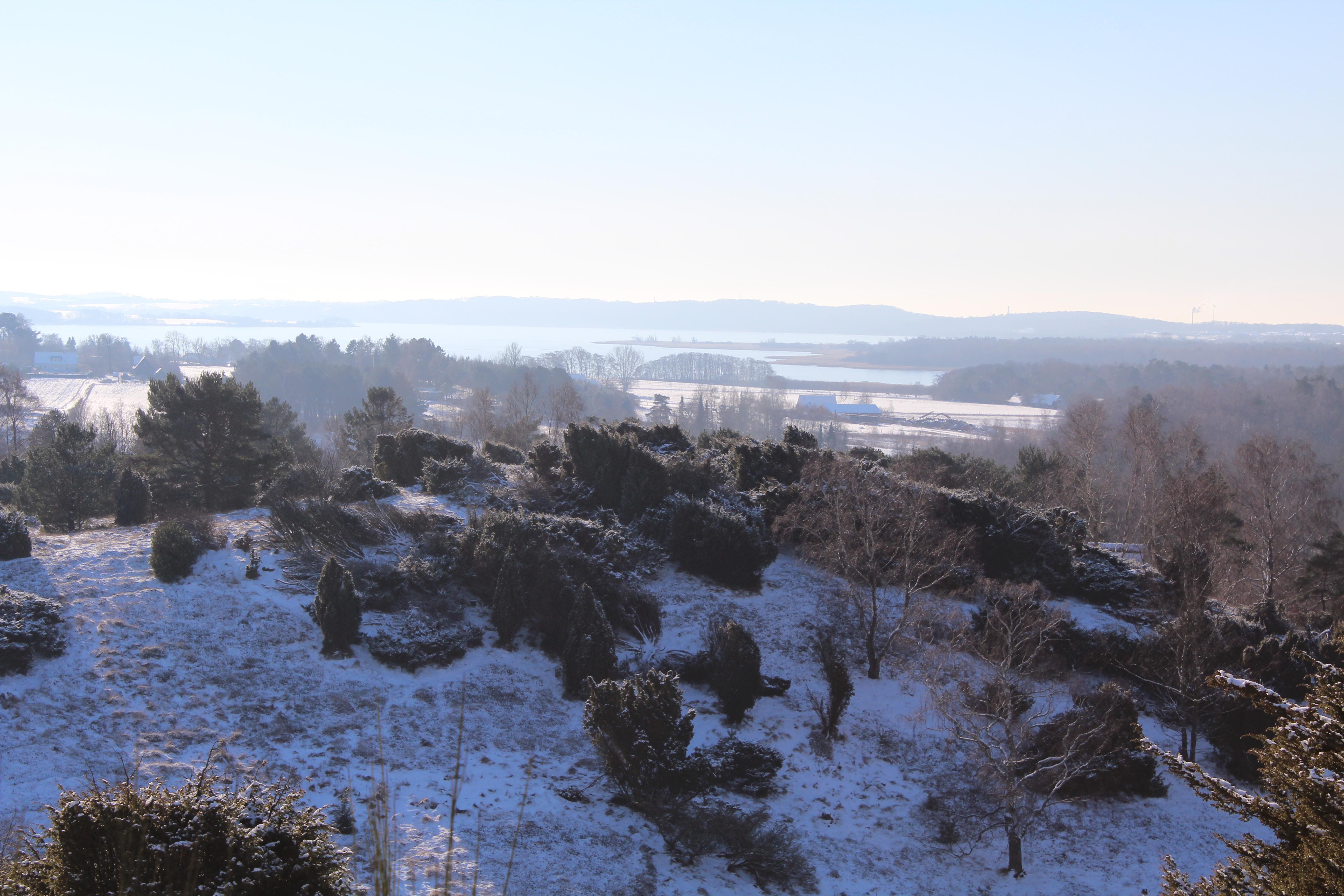
Panorama viewpoint “Udsigten” – view in direction southwest to Arresoe Lake with Arrenaes:

Panorama viewpoint “Udsigten” – view in direction southwest to Arresoe Lake:
Panorama viewpoint “Udsigten” – view in direction southwest to Arresoe Lake:

Panorama viewpoint “Udsigten” – view in direction southwest to Arresoe Lake:
Panorama viewpoint “Udsigten” – view in direction west to Tisvilde Forest:
Tibirke Hill´s – on my way down the public path back to main road Baekkebrovej:
On my way back to my home in Melby I passed close to Arresoe Lake:

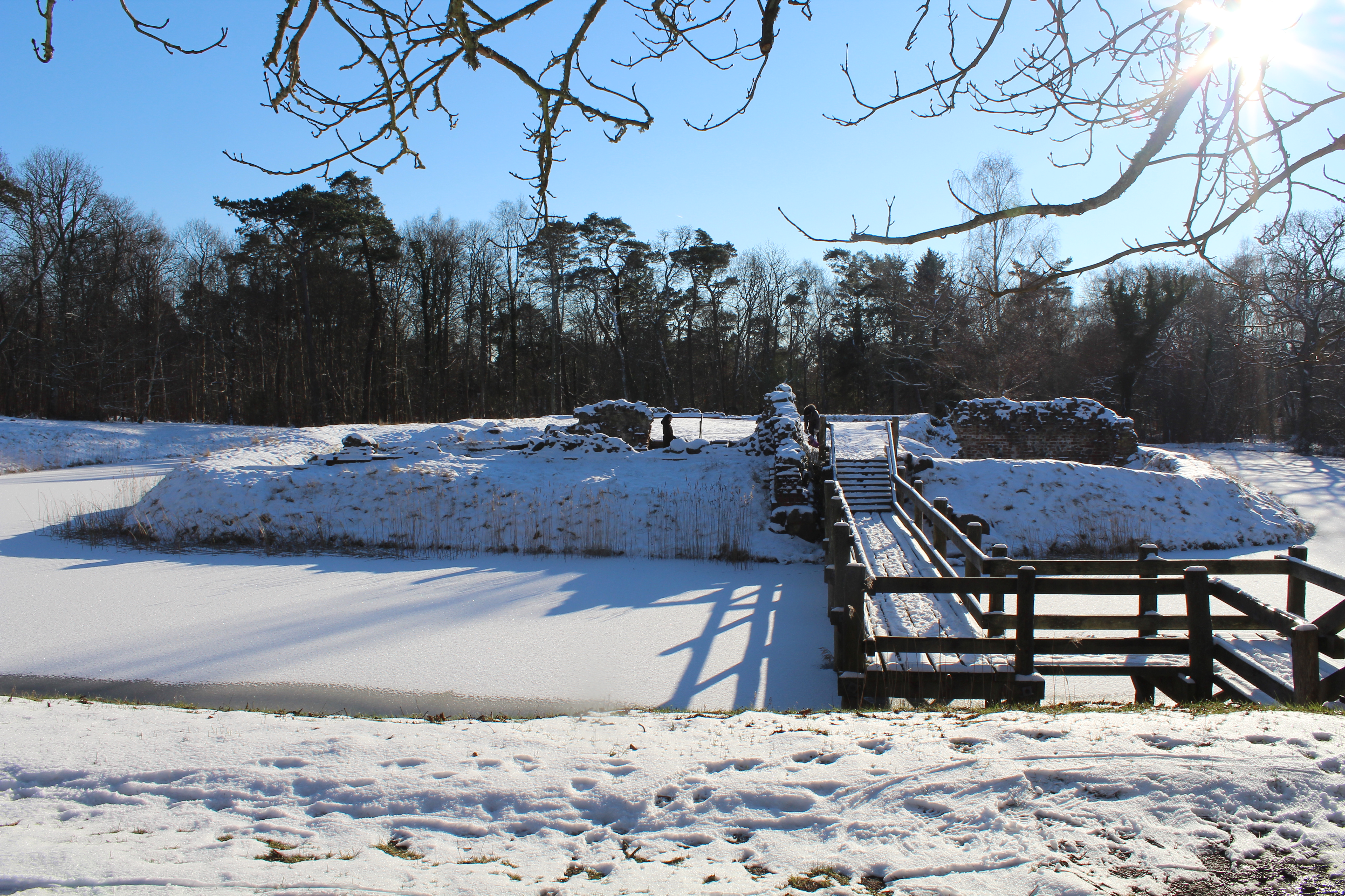
and visited Asserbo Castle Ruin founded as a monastery about 1100 and later rebuilded to a small castle with ramparts and moats:
Here I am back in Melby only 300 meter from my home as neighbour to Seven Hills “Syv Høje” – seven burials mounds from Danish Bronze Age about 1500 B.C.:

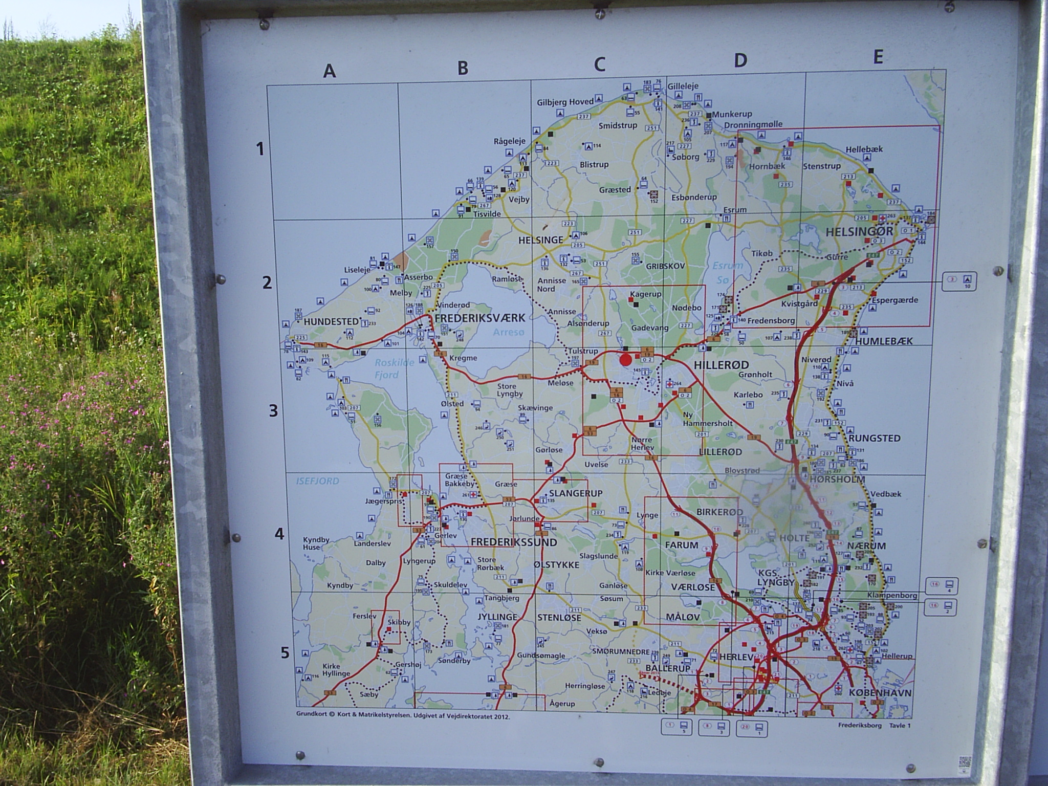
Map of North Sealand:
Copyright text and photos Erik K Abrahamsen 2015
All rights reserved
Melby, North Sealand, Denmark 3. december 2015
Best wishes
Erik